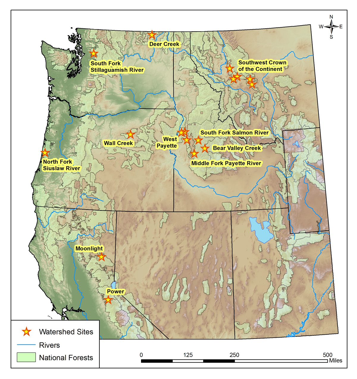
GRAIP watershed studies are used to characterize the level of risk associated with the road network in critical watersheds. GRAIP provides site specific predictions of road surface erosion, sediment delivery, hydrologic connectivity, stream crossing failure and diversion risk, as well as maps of landslide and gully initiation risk. The GRAIP outputs empower land managers with the site specific data required to prioritize restoration efforts and to maximize benefits to the aquatic system.
Lolo National Forest, Helena National Forest, Flathead National Forest, Great Northern Landscape Conservation Cooperative, Southwestern Crown Collaborative, US Geological Survey, Rocky Mountain Research Station