***Please credit the "USDA Forest Service" when using these images.
Broad-based Dip on the Mt. Baker
Snoqualmie NF.
Broad-based Dip in poor condition, Umatilla NF.
Cutslope creep on the Gallatin NF.
Debris flow deposit at a washed out stream crossing.
Excavated stream crossing.
Decommissioned drain.
Decommissioned road, Siuslaw NF.
Sideslope failure, excavated stream crossing.
Fillslope creep.
Fillslope failure.
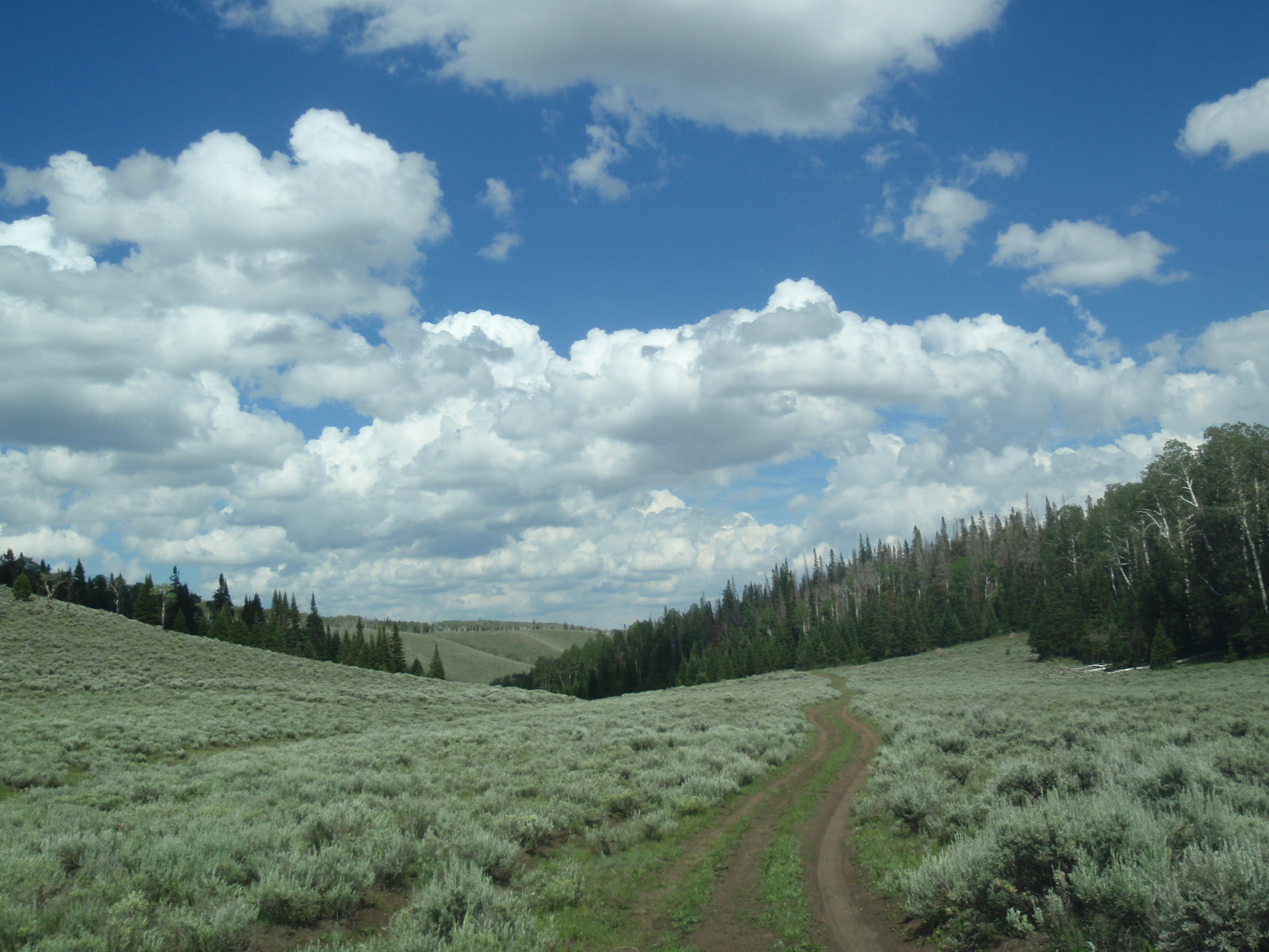
Rangeland road, Fish Lake NF.
Flow diffuser.
Stream crossing ford.
Post-SDRR stream crossing ford.
Mt. Baker – Snoqualmie NF.
Road hazard and GPS inventory in progress.
Gully below ditch relief culvert.
Landslide
Road without a ditch.
Broken berm results in non-engineered drain.
Incision through an excavated stream crossing.
Rain gage setup.
Rangeland road.
Recontoured streamside road.
Recontoured road.
Debris flow deposit on road.
Post-decommissioning inventory, stream crossing pebble count.
Broad based dip over a stream crossing, post-SDRR.
Find AWAE and follow us on your favorite social media site:


