
Official websites use .gov
A .gov
website belongs to an official government organization in the
United States.
Secure .gov websites use HTTPS
A lock
(
) or https:// means you've safely
connected to the .gov website. Share sensitive information only
on official, secure websites.


Closure Orders - Updated May 3, 2024
Special orders are put into effect to address particular management problems. Some of the reasons for implementation of special orders is to protect public safety, prevent resource damage, preserve a particular area's setting (such as those areas closed to motorized travel), protect wildlife populations, and many other reasons. Special orders may prohibit a specific activity, or impose permit requirements. Some examples of permits that may be required are day-use, hiking, camping or burning permits. Orders may be issued at the national, multi-regional, regional, forest, or district level. View special orders from the Forest Service Southern Region here.
Forest-Wide
| Description | Effective | Expires |
|---|---|---|
| Food Storage Requirements for Appalachian Trail Segments in Region 8 | 4/14/2023 | 4/14/2025 |
| Acts Prohibited on the National Forests in North Carolina | 3/23/2023 | 3/23/2026 |
| Regulations for National Forest System Roads | 3/23/2023 | 3/23/2026 |
| Temporary Closures of Rock Cliffs to Protect Peregrine Falcons* | 2/15/2022 | 1/15/2024 |
| Cave and Mine Closures | 12/9/2021 | 12/9/2023 |
| ATVs and Motorcycles | 2/15/2017 | until rescinded |
| Metal Detectors | 3/27/2015 | until rescinded |
| General Forest Order on Camping Limits | 3/23/2015 | until rescinded |
| Appalachian National Scenic Trail | 7/16/2014 | until rescinded |
*Map of Closure Areas: Big Lost Cove Cliffs, Buzzard's Roost, Bynum Bluff, Looking Glass Rock (North Face), NC Wall/Apricot Buttress/The Camel, North Cedar Rock (Wall of Northern Aggression), Pickens Nose (East Face), Shortoff Mountain North, Shortoff Mountain South, Victory Wall, Whiterock Cliff, Whiteside Mountain
Croatan National Forest
| Description | Effective | Expires |
|---|---|---|
| Croatan National Forest Closure After Hurricane Florence | 4/25/2024 | 4/25/2026 |
| Alcoholic Beverages prohibited within Fishers Landing Recreation Area | 9/13/2017 | until rescinded |
| Target Shooting Prohibited on Croatan National Forest | 11/9/2015 | until rescinded |
*Map of Closure Areas: Hurricane Florence Map 1, Hurricane Florence Map 2, Hurricane Florence Map 3
Nantahala National Forest
| Description | Effective | Expires |
|---|---|---|
| Alcohol Restriction Nantahala National Forest | 4/1/2015 | until rescinded |
| Firearms Range Regulations | 5/23/2017 | until rescinded |
Cheoah Ranger District
No closures currently in effect.
Nantahala Ranger District
| Description | Effective | Expires |
|---|---|---|
| Santeetlah Lake and Panther Creek Road Dispersed Camping Closure - Map | 2/14/2023 | 12/1/2023 |
| Panthertown Food Storage Restrictions | 4/25/2022 | 4/25/2024 |
| Finger Lake Area Prohibitions | 6/4/2019 | 6/4/2026 |
| Chattooga National Wild and Scenic River Corridor | 8/28/2018 | until rescinded |
| Whitewater Falls Recreation Area Restrictions | 1/27/2016 | until rescinded |
| Whiteside Mountain Recreation Area | 1/27/2016 | until rescinded |
| Balsam Lake Day Use Area | 1/27/2016 | until rescinded |
| Wayehutta ORV Parking Area | 1/27/2016 | until rescinded |
| Arrowood Glade Alcoholic Beverages Prohibited | 1/12/2016 | until rescinded |
| Nantahala River Prohibitions | 1/12/2016 | until rescinded |
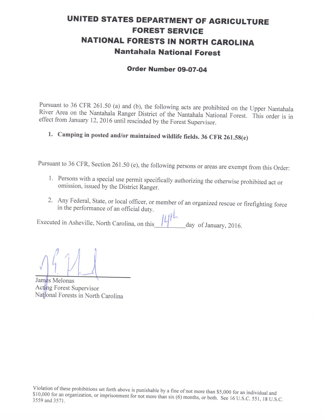
| Upper Nantahala River Prohibitions | 1/12/2016 | until rescinded |
| Wilson Lick Ranger Station Prohibitions | 1/12/2016 | until rescinded |
| Wayah Bald Prohibitions | 1/12/2016 | until rescinded |
| Nantahala River Launch Site | 1/12/2016 | until rescinded |
| Coweeta Hydrologic Laboratory | 1/12/2016 | until rescinded |
Pisgah National Forest
Appalachian Ranger District
| Description | Effective | Expires |
|---|---|---|
| District closures due to Tropical Storm Fred | 8/27/2021 | until rescinded |
| Max Patch restrictions on camping, fires, and more - Map | 6/12/2023 | 6/30/2026 |
| FS Road 467 Hurricane Gap Road and FS Road 113 Mill Ridge Road Closure | 1/19/2017 | until rescinded |
| Elk River Recreation Area | 8/25/2015 | until rescinded |
Grandfather Ranger District
| Description | Effective | Expires |
|---|---|---|
| Catawba Falls Closure - Map | 4/25/2022 | 4/25/2024 |
| Alcohol Restriction (Curtis Creek and Wiseman's View Areas) | 1/9/2020 | 1/9/2025 |
| Alcohol Restriction (Brown Mountain OHV Area) | 4/17/2015 | until rescinded |
| Wiseman View Recreation Area Restrictions | 4/17/2015 | until rescinded |
| Wilson Creek Restrictions | 4/17/2015 | until rescinded |
| Linville Gorge Wilderness Area Camping Restriction | 4/17/2015 | until rescinded |
| Linville Gorge Wilderness Area Camping Restiction Continued | 4/17/2015 | until rescinded |
| Prohibitions on Table Rock Mountain, the Chimneys, and Woods Mountain to protect threatened plant species | 4/17/2015 | until rescinded |
Pisgah Ranger District
| Description | Effective | Expires |
|---|---|---|
| District closures due to Tropical Storm Fred | 8/27/2021 | until rescinded |
| Pisgah Ranger District Alcoholic Beverage Restrictions | 8/27/2019 | until rescinded |
| Required use of bear resistant containers near Avery Creek Road - Map | 6/7/2017 | until rescinded |
| Emergency Bear Canister Requirement | 3/19/2015 | until rescinded |
| Graveyard Fields Camping Closure | 3/19/2015 | until rescinded |
| Bent Creek Restrictions | 7/8/2014 | until rescinded |
| Requirement to store food in bear resistant containers | 9/11/2013 | until rescinded |
Uwharrie National Forest
| Description | Effective | Expires |
|---|---|---|
| Alcoholic beverages prohibited | 10/30/2018 | until rescinded |
| Seasonal Closure of Badin Lake OHV Trail, December 15 - March 31 Annually | 4/17/2015 | until rescinded |
| Flintlock Valley Shooting Range | 6/18/2014 | until rescinded |