

Southwestern Region Viewing Area
LOCATION and PHOTOS
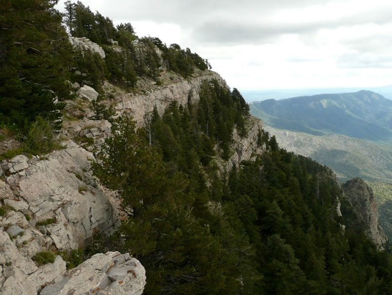 Thick layers of limestone underlie the Sandia Crest. Photo by Charlie McDonald.
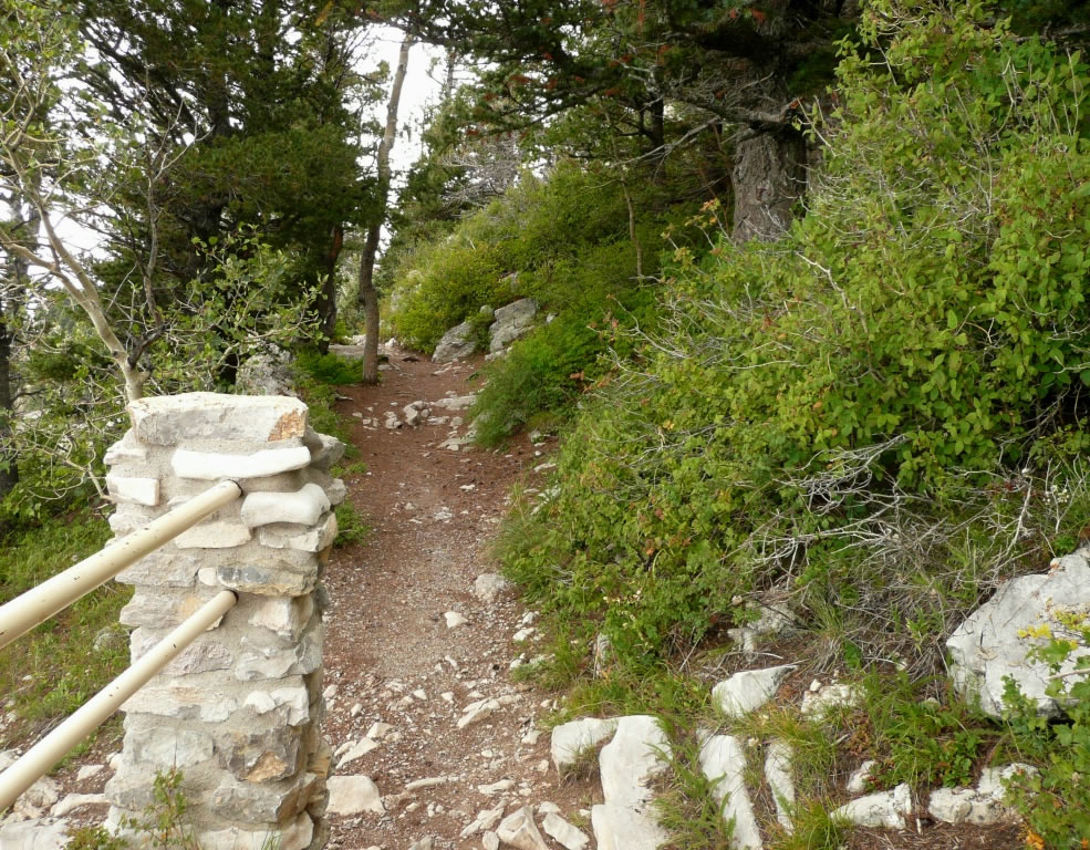 This section of the “lower trail” follows the first wide ledge that is just below the crest. Photo by Charlie McDonald.
 Sandia Mountain alumroot. Photo by Charlie McDonald.
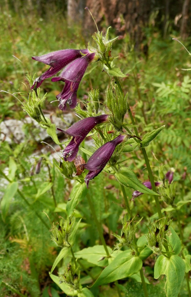 Dusky penstemon is common in forests and partly shaded openings. Photo by Charlie McDonald.
Sandia Crest
Forest: Cibola National Forest
District: Sandia Ranger District
Description: The Sandia Mountains are a small range east of Albuquerque, New Mexico. The mountains do not have a summit. Instead, the high point is a long ridge called the Sandia Crest. At 10,678 feet in elevation, the vegetation here is vastly different than in Albuquerque that lies about 4,500 feet below. Access to the Sandia Crest is easy and this is a popular tourist destination. The best wildflower viewing is along a hiking trail that starts at the southwestern corner of the parking lot. The trail is paved for a short distance for handicapped access and then becomes packed dirt. It is relatively level and easy to walk. The trail follows the limestone outcrops along the crest and then heads into the forest so you have an opportunity to see both sun-loving and shade-loving plants.
Viewing Information: Sandia Mountain alumroot (Heuchera pulchella) is the botanical star of this wildflower hike. It is a rare plant found only in the Sandia and Manzano mountains, but it is common here where it grows in limestone cracks in full or partial sun. Some other plants you are likely to see in open areas are woolly cinquefoil (Potentilla hippiana), Rocky Mountain penstemon (Penstemon strictus), western wallflower (Erysimum capitatum), and perky Sue (Hymenoxys acaulis). Plants common in the forest are dusky penstemon (Penstemon whippleanus), red columbine (Aquilegia desertorum), Jacob’s ladder (Polemonium foliosissimum), and Richardson geranium (Geranium richardsonii). A good assortment of plants will be available for viewing anytime from June through September.
Safety First: Summer storms can cause drastic temperature drops and hypothermia is possible even during the warmest months so always carry protective clothing. Summer storms also produce lightning that is very dangerous for hikers on peaks and exposed ridges. July, August, and September are the stormiest months in New Mexico. During these months, it is safest to hike in the morning before storms build up in the mid-afternoon.
Directions: From Albuquerque, New Mexico, take Interstate 40 east to the Tijeras Exit and then N.M. Highway 14 north to the junction with N.M. Highway 536. Take Highway 536 (Sandia Crest National Scenic Byway) to the Sandia Crest. This road has many switchbacks, but is otherwise a well maintained paved road. The highway ends at the Sandia Crest which has a restaurant, gift shop, handicap accessible viewing, and toilets.
Ownership and Management: USDA Forest Service, Cibola National Forest, Sandia Ranger District, 11776 Highway 337, Tijeras, New Mexico 87059. Phone: (505) 281-3304.
Closest Town: Cedar Crest, New Mexico.