

Pacific Southwest Region Viewing Area
MAP AND PHOTOS
 Kings River Trail location map.
 Mexican poppies in bloom above Kings River. Photo by Jamie Tuitele-Lewis.
 Streptanthus tortuosus in bloom. Photo by Jamie Tuitele-Lewis.
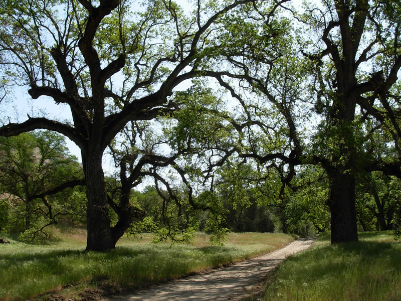 Valley oaks on the way to Kings River Trail. Photo by Micki Didier.
Kings River Trail
Forest: Sierra National Forest
District: High Sierra Ranger District
Description: The Kings River is one of the most stunning rivers of the Sierra Nevada, forming the border between the Sierra and Sequoia National Forests and originating in the high country of Sequoia/Kings Canyon National Parks. Within the Sierra National Forest, elevations along the river range from 800 feet at Pine Flat Reservoir to over 10,000 feet at Spanish Mountain. A variety of vegetation types can be observed due to the geographic location and extreme topography of the Kings River area; annual grasslands to riparian woodlands to ponderosa pine forests can be seen along this hike. Granitic, metamorphic, and carbonate soils contribute to the diversity of plant species that can be seen in this area.
Viewing Information: The Kings River Trail follows the river upstream for approximately six miles, first traversing grasslands and riverbanks with Mexican poppies, globe gilia, caterpillar phacelia, and blazing stars. Riparian vegetation is resplendent with California sycamores, buttonwillow, and western spicebush, among others. Interspersed throughout are common species like bush lupine, fiddlenecks, popcorn flowers, and red maids. In areas with carbonate soils (limestone), the Kings River buckwheat may be found. Recommended viewing time is from March to May. November is a good time to see the Kings River buckwheat. The trail eventually winds up the slope and dead-ends in a drainage above the river.
Safety First: The Kings River can get extremely hot, even in April. Hats, sunscreen, and enough water for a long hike are necessities. Rattlesnakes are found in the area; exercise caution when stepping over objects and ensure that you look before sitting down in an area. Poison oak is common, learn to recognize it and avoid it as it can cause dermatitis at any time of year, even during the winter when the leaves are absent. Pay attention to seasonal flows as this river can be very dangerous during high flows.
Directions: From the Highway 99/ Fresno Area, take Highway 180 east from Fresno; it will turn into Trimmer Springs Road as it heads into the foothills. Follow Trimmer Springs Road east until it crosses the Kings River twice; after the second crossing on the Bailey bridge, go right where the road turns to gravel and rock, entering the Kings River Special Management Area, and follow it until it dead ends at Granite Dike trailhead. There is a small parking area. Caution is advised when travelling along the last section of road as it is steep in some sections and is often one-lane with limited sight-distance. Springtime brings heavy traffic on weekends and holidays, so be very careful when making this drive. Approximate driving time from Fresno is about one and a half hours but it can be up to two hours depending on conditions.
Ownership and Management: USDA Forest Service, Sierra National Forest, (559) 297-0706.
Closest Town: Fresno and Clovis, California and Prather, California.