
Pikes Peak Ranger District

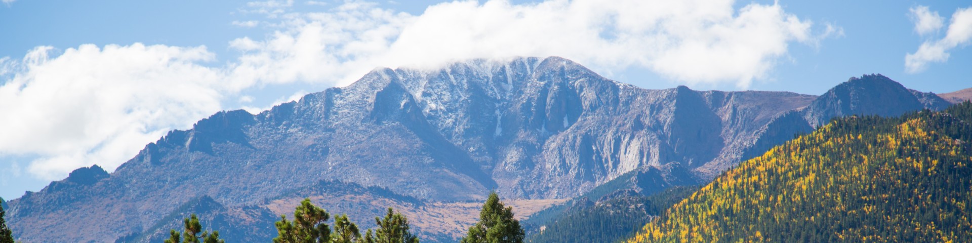
The Pikes Peak Ranger District manages roughly 230,000 acres of the Pike-San Isabel National Forests & Cimarron and Comanche National Grasslands to ensure recreational opportunities, water, fish and wildlife, timber, grazing, minerals and scenic beauty for the American people. Outdoor activities such as hiking, biking, horseback riding, camping, picnicking, fishing, boating and off-highway travel are available. There are more than 225 miles of trails (1/3 of which are motorized), approximately 250 developed campsites and many fishing areas located throughout the district.

Respect and appreciate wild places and their inhabitants. Learn the skills necessary to enjoy your National Forest while practicing Leave No Trace ethics.

General Information

This recreation region is managed by the Pikes Peak Ranger District

Passes & Permits

Visit recreation.gov or call 1-877-444-6777 for campground reservations. Campground reservations cannot be made ranger district offices.

Special use permits are required for groups of 75 or more persons and all commercial activities including outfitting and guiding.  Visit the Pike-San Isabel National Forests & Cimarron and Comanche National Grasslands Recreation Special Use Permits page to learn more.

America the Beautiful - National Parks and Federal Recreational Lands Passes are a suite of annual and lifetime passes that provides U.S. citizens and visitors an affordable and convenient way to access Federal recreational lands. Up to 100% of the Pass program's proceeds are used to improve and enhance visitor recreation services.

Recreation Sites

Showing: 1 - 10 of 26 results

Bottomless Pit Observation Site

Site Open
Outdoor Science and Learning
The overlook provides a view of a deep cirque and interesting rock formations of the Bottomless Pit. The site is accessed from the Pikes Peak Highway. The trail to the bottom of the pit begins…

Cascade Observation Site

Site Open
Outdoor Science and Learning
Located on Pikes Peak Highway. There are view finders available to overlook the town of Cascade.

Colorado Campground

This family-oriented campground has 80 campsites with parking areas up to 30 feet long. Picnic tables, fire grates, water and trash collection are available. There is also an amphitheater. This is…

Crags Campground

The Crags Campground has 17 sites for tents, small recreational vehicles (RVs) or small trailers. The access to the campground is from a narrow, winding and rough dirt road, which may not be…

Crags Trailhead #664

Site Open
Hiking Horse Riding and Camping Winter Sports
Crags Trail to "The Crags"This trail is a moderately difficult 2.5-mile foot, horse and cross-country ski trail with an elevation change of 800 feet.Crags Trail leads to a group of rock pinnacle…

Crowe Gulch Picnic Area

Site Open
Picnicking Hiking
A picnic ground located 3 miles up Pikes Peak Highway. Crowe Gulch is off of Pikes Peak Highway and will require admission fee to access. Picnic area is access point to Mt. Ester Trail (754).…

Devil's Playground Trailhead #753

Site Open
Hiking
The first 1/2 mile of the Devil's Playground Trail is shared with the Crags Trail. At the Y, bear right and cross the bridge over the creek. The trail follows an old road to just below…

Halfway Picnic Area

Site Open
Picnicking
Picnic area located almost ten miles from the start of Pikes Peak Highway. Multiple picnic tables and two vault toilet restrooms available 

Homestake Fishing Site

Hunting, Fishing and Shooting Picnicking
This site, located at Rampart Reservoir, has interpretive exhibits, fishing access and a good view of Pikes Peak.

Last updated April 29th, 2025