
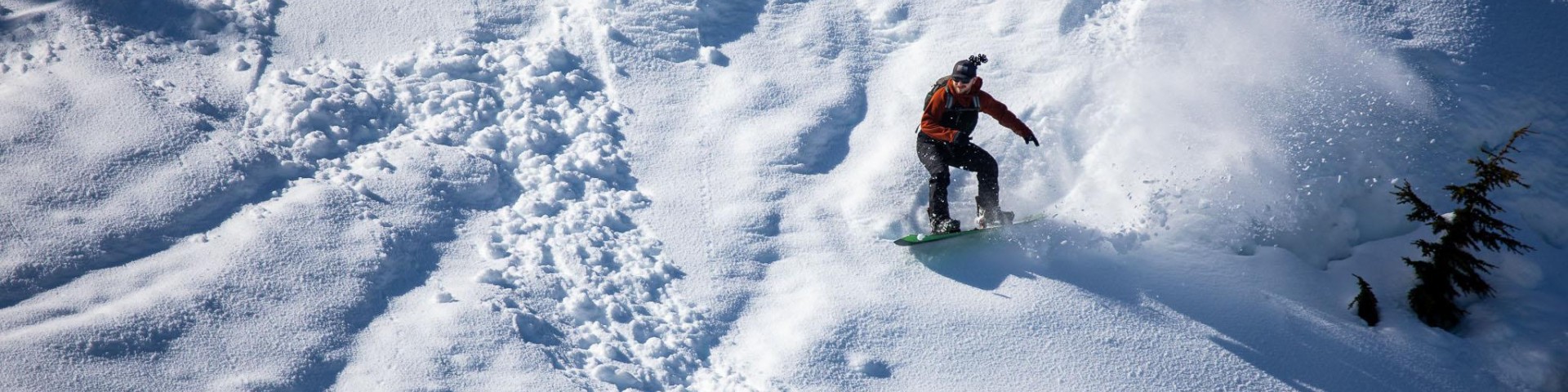
Recreation
With millions of acres of wilderness, thousands of miles of coastline, and hundreds of miles of trails there is opportunity for every level of adventurer on the Chugach. Peruse these pages to find your peaceful cabin getaway, the best fishing, and the most scenic hikes to connect with nature like never before!

Cordova is a commercial fishing community and home to the world famous Copper River Wild Salmon.

The Eastern Kenai Peninsula in the Chugach National Forest is best known for its spectacular recreational opportunities.
Alaganik Bridge - Mile 22
Site Open
This is a primitive wayside site with 2 picnic sites, 1 covered picnic pavilion, firepits, pit toilet, bear-proof garbage, and boat launch. There is no camping.
Alaganik Slough
Site Open
The boat ramp and Alaganik Slough Trail (.4 miles) provide great access to salmon fishing on Alaganik Slough and other tributaries. There is an accessible boardwalk (.2 miles) to viewing…
Alaganik Slough Recreation Area
Site Open
Located about 19 miles east of Cordova, this recreation site offers 4 picnic/camping sites, firepits, pit toilets, bear-proof garbage, and a boat launch. There is no potable water. The sites are…
Alice Smith Intertie Trail
This ridge route is marked with rock cairns and has extraordinary views of Prince William Sound, Eyak Lake, the Copper River Delta, and the surrounding Chugach Mountains.
Aspen Flats Cabin
Site Open
A 12 x 14-foot rustic cabin on the Russian River nestled between the Lower and Upper Russian Lakes. The surrounding area is flat to hilly with scattered spruce and cottonwood trees, and views of…
Barber Cabin
Site Open
A 16 x 20-foot log cabin on Lower Russian Lake surrounded by spruce forest and meadows with mountain views. This cabin accommodates up to 6 people. Cabin amenities include a table, wood stove,…
Beach River Cabin
Site Open
A 12 x 16-foot rustic cabin, the Beach River Cabin has space for up to six people. Cabin amenities include a table, oil stove, wood stove, outhouse and a rainwater catchment barrel. The oil stove…
Bear Lake Trail - INHT
Bear Lake Trail is a segment of the longer Iditarod National Historic Trail (INHT). This trail is moderate difficulty and is 7.5 miles (one way). The best season for use is June - October. It has…
Begich, Boggs Visitor Center
Site Open
The Begich, Boggs Visitor Center rests right in the heart of Portage Valley.There are many hikes and sights (including Portage and Byron Glaciers) to see in the area!Begich, Boggs Visitor Center is…
Bertha Creek Campground
Site Open
This small loop campground offers 12 sites suitable for small RV's and tents on the banks of Granite Creek nestled against the snowy peaks of the Chugach Mountains. It offers picnic tables, vault…