
Recreation
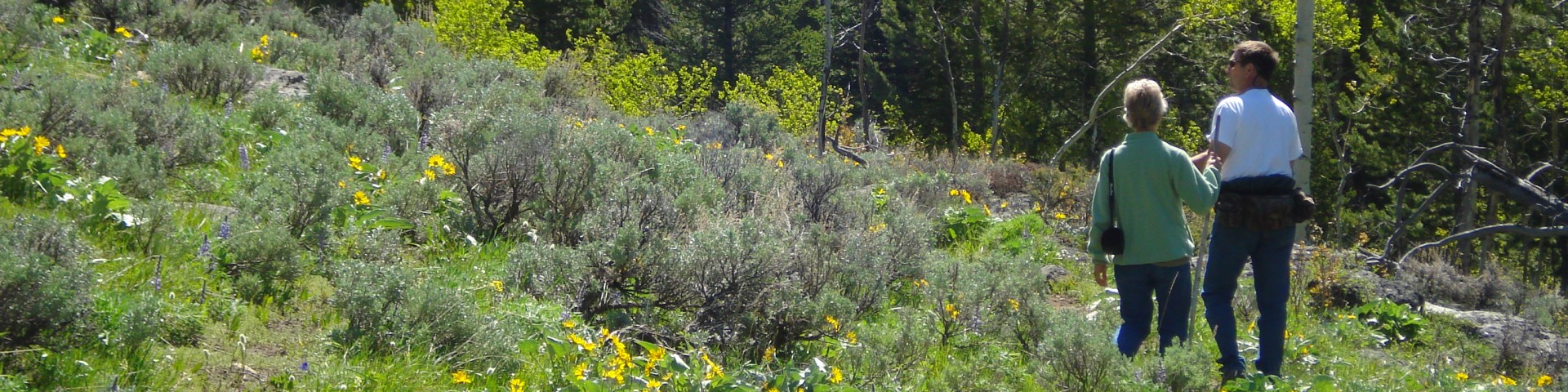
The Bighorn National Forest offers a little for everyone with breathtaking scenery, a diversity of recreation experiences, nearly 192,000 acres of wilderness, and over 1,200 miles of trail for visitors to explore.
Rising between the Powder River and Bighorn Basins, this scenic Forest offers year-round recreation connecting visitors to a land rich in history and solitude. For centuries, the mountain landscape has provided for Native Americans, homesteaders and modern day explorers creating a human connection with this spectacular place. Today there is a bond with "the mountain" for local residents, which contributes to the quality of life in local communities. Viewing scenery and wildlife, while incorporating a rich history, connects locals and travelers to this accessible landscape.

Travelers in the Bighorn Byway will encounter large mountain meadows, canyons, and amazing recreation opportunities.

A popular route through the Bighorn National Forest, the Cloud Peak Skyway offers spectacular views of the backbone of the Bighorn Range including Cloud Peak.

Although managed as a primitive area since 1932, the 191,914 acre Cloud Peak Wilderness was established under the Wyoming Wilderness Act in 1984.

Travelers along U.S. Highway 14A, the Medicine Wheel Passage Scenic Byway will encounter high elevation plains and deep canyon country up close.

One of the most out of the way destinations on the Forest. The Paintrock region may take a long time to drive, but the recreation sites are worth the effort.

This rugged route is best traveled in high clearance four-wheel drive vehicles.