
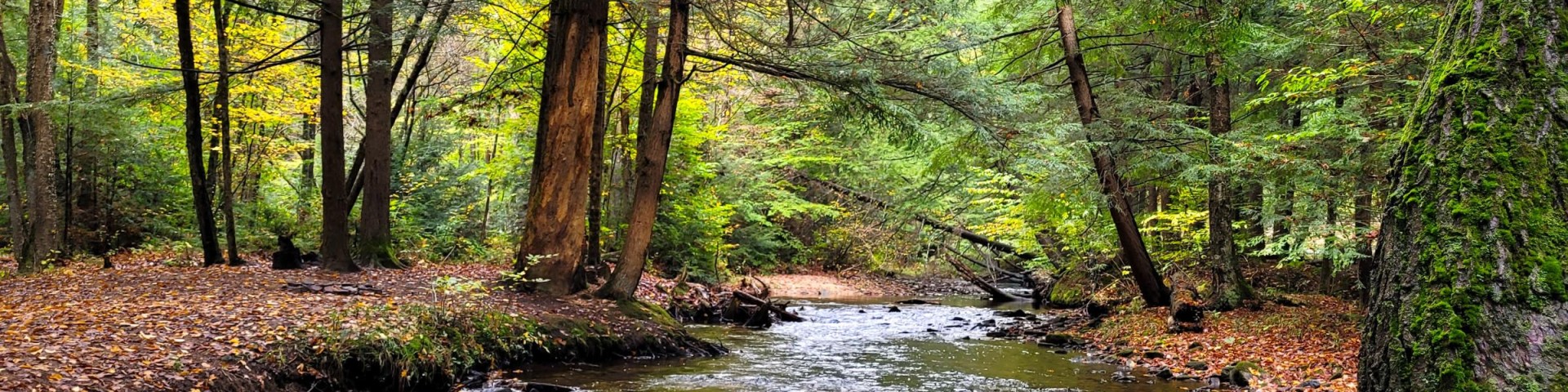
Recreation
Know Before You Go
Maps and Guides

Passes and Permits

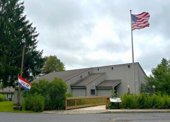
Offices
Safety and Ethics

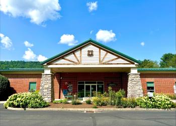
The Bradford Ranger District covers the northern half of the Allegheny National Forest.

The Marienville Ranger District covers the southern half of the Allegheny National Forest.

Lush green forest surrounds the 7,647-acre reservoir that spans the border between Pennsylvania and New York.

In 1992 (Public Law 102-271) added 87 miles of the Allegheny River to the National Wild & Scenic River System classified as Recreational.

The Clarion River is a designated Wild and Scenic River for 51.7 miles, from the border of the ANF/State Game Lands Number 44 boundary to an unnamed tributary at the backwa

This is an interconnecting trail system with 76 miles of trail. Trail season typically runs from the Friday before Memorial Day to the last Sunday in September.