
Incident Information
Resources
Inciweb
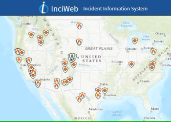
Stay informed about wildfires and natural disasters by visiting InciWeb. Click the button below for real-time updates, safety information, and resources to help you prepare and respond.
Fire Restrictions and Closures

Fire restrictions and closure areas are shown at the bottom of the alerts page.
Air Quality
Information from AirNow.gov for the state of California - Interactive map is available.
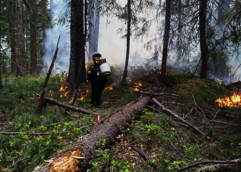
Campfire Permit

These are free and are available below or at Forest Service offices. Remember to check for fire restrictions before you go!
Current Activity Levels and Restrictions
For information on daily fire and cutting restrictions, call the Forest Service Fuelwood Recording Line
Call (707) 441-3665
Between May 1 and December 1, a pre-recorded daily message will state the predicted Project Activity Level (PAL) for the following day. Individuals may also contact the closest ranger district during office hours for further information.
Fuelwood Cutters and Service Contracts use the PAL System.
Fuelwood Permit Requirements
- Chainsaws and all other internal combustion engines must have an approved spark arrester.
- Approved fire extinguisher and shovel with an overall length of 46 inches required in the immediate area.
- In addition to the requirements above, these additional restrictions apply to fuelwood cutting by PAL.
PAL Levels
A, B, C: No additional permit restrictions
D: No fuelwood cutting after 1 p.m.
Ev/E: No fuelwood cutting at any time.
- Permit void when an emergency fire closure is enacted.
| PAL Areas | |
| Gasquet District | 110 |
| Orleans District | 112 |
| Ukonom District | 200 |
| Lower Trinity District | 115 |
| Mad River District | 130 |