

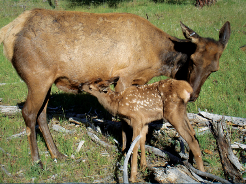
Model users leverage innovative applications to benefit elk
The development of a wildlife model with an upfront focus on management utility and user application is rare. Often, journal publication is the final step in the research cycle. But the Westside Elk Habitat Model is an exception. Published in 2018 in The Wildlife Society’s Wildlife Monographs and featured in the Pacific Northwest Research Station’s Science Findings series, the active lifespan for this model could have been complete. However, that’s not where the story ends.

As described on the project webpage, the Westside Elk Habitat Model is a set of tools that provides a user-friendly modeling framework to support decision-making for current or potential elk (Cervus canadensis) habitat throughout western Oregon and Washington. From its inception, interagency collaboration was key to model development.
Partners from the Oregon Department of Fish and Wildlife, National Council for Air and Stream Improvement, Pacific Northwest Research Station and Pacific Northwest Region, Muckleshoot Indian Tribe, Eagle Environmental, Inc. and others worked with the station’s Starkey Ungulate Ecology Team to develop two predictive models—nutrition availability and habitat use—tailored for management application on elk summer range.
Today, the Westside Elk Habitat Model is not only used to quantify current nutritional conditions and predict habitat use by elk in summer but can also be used to evaluate the effects of proposed management actions on elk habitat and distributions. The model was intentionally crafted to allow users to input variables that managers can influence, such as roads and forest cover.
Tribal telemetry data for elk was the backbone of model development while contributions from forest industry were fundamental in developing the stand-alone nutrition model. State wildlife agencies, federal agencies and university partners all provided improvements during the process.
During, and especially after, development, the modeling team carefully worked with stakeholders to create a toolbox that users (such as wildlife and land managers and district biologists) could readily access and apply.
A commitment to tool delivery led the interagency team to reformulate the modeling tools in Python code and streamline the packaging. Working closely with Forest Service Data Resource Management’s (internal link) Andrew Stratton, the team created one version for internal Forest Service GIS users and a desktop version for others.
The team also created a comprehensive user guide detailing the four tools housed in the Python toolbox and how to modify readily available spatial data to run them. A newly developed website acts as a hub for delivering the tools, the user guide and data packages to help explore and understand the models.
Westside Elk Habitat Model opened the doors to a range of model users as a result of the team’s willingness to work with stakeholders. Users have employed the model in a variety of projects:
- The Muckleshoot Indian Tribe applied the Westside elk nutrition model to calculate an elk forage index in its 37,000-hectare Tomanamus Forest. Biologists set forage index targets in elk management areas to use in decision models for forest planning and to evaluate management alternatives.
- Vales, D.J.; Middleton, M.P.; McDaniel, M. 2017. A nutrition-based approach for elk habitat management on intensively managed forestlands, Journal of Forestry. 115: 406–415.
- Several biologists and graduate students used outputs from the elk models to stratify study areas in the Westside region for sampling elk to meet a variety of objectives, such as estimating density of Roosevelt elk (C. c. roosevelti) in western Oregon and comparing habitat-use model covariate values to estimates of elk population density.
- A project funded by the Rocky Mountain Elk Foundation is using the elk nutrition model to explore effects of variable density thinning on elk forage production and dietary digestible energy in southern Washington.
- The forest biologist for the Willamette National Forest mapped nutritional resources for elk across the entire national forest at three time points (1986, 1993, 2012) to monitor trends in elk habitat conditions and guide forest planning.
Here is what users are saying about the Westside Elk Habitat Model:
“The Westside elk model is an invaluable tool to help our wildlife biologists communicate to the public, state, federal and tribal partners how our Forest Service vegetation and road density management impact elk habitat use and nutrition. With increased emphasis nationally around wildlife migration routes and restoring habitat for big game on public lands, the model really helps inform management tradeoffs that affect elk distribution and habitat use in an easy-to-interpret format.” –Josh Chapman, Wildlife Program leader, Pacific Northwest Region
“We're using the elk nutrition and habitat-use models for western Oregon and Washington to help a private landowner in Clatsop County in northwest Oregon develop an elk management plan. The model is useful because it is helping us focus our efforts to improve elk habitat on the ground.” –Eliana Pool, biologist, Cafferata Consulting
By focusing on tool delivery up front, and working with partners for improvements, the Westside elk modeling team took an innovative approach to model development. They asked the question, “What do you get when scientists, managers, and programmers collaborate to create a wildlife habitat model?” The answer is a better product that continues to be widely adopted by a diverse user group to better manage elk and their habitats.