
Official websites use .gov
A .gov
website belongs to an official government organization in the
United States.
Secure .gov websites use HTTPS
A lock
(
) or https:// means you've safely
connected to the .gov website. Share sensitive information only
on official, secure websites.


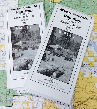
Motor Vehicle Use Maps
Motor Vehicle Use Maps (MVUM) are the official maps for designating all roads and trails available for public motorized travel on the Ochoco National Forest and the Crooked River National Grassland.
The MVUM is the legal document that shows where it is legal to drive a motor vehicle. Although other travel aids or more detailed maps may be used in conjunction with the MVUM, it is the MVUM itself which is the reference document for where it is legal to drive a motor vehicle.
The MVUM is re-published every year, so, please be sure that you are using the most current version when driving on the National Forest. If you would like a hard copy of these maps, they are available upon request at any of our forest offices or by calling the Ochoco National Forest Supervisor's Office at (541) 416-6500.
Motor Vehicle Use Maps (MVUMs):
Crooked River National Grassland Map