
Official websites use .gov
A .gov
website belongs to an official government organization in the
United States.
Secure .gov websites use HTTPS
A lock
(
) or https:// means you've safely
connected to the .gov website. Share sensitive information only
on official, secure websites.


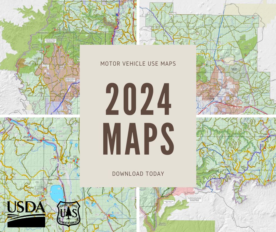
Motor Vehicle Use Maps
Obtain a free hardcopy MVUM at any Coconino National Forest office, or by calling 928-527-3600. Free hardcopy MVUMs are also available at local outdoor stores, and offices of other nearby National Forests. There are no route or area changes from the 2023 map to the 2024 map.
Download Motor Vehicle Use Maps
What is a Motor Vehicle Use Map (MVUM)? MVUMs contains essential information about road, trail, and area designations that motorists should always have close at hand. The free published hard copy MVUM is the legal document-of-record that shows the roads, trails, and areas designated as open to motorized vehicle use on Coconino National Forest.
Driving a motorized vehicle on roads, trails, or areas not designated for motor vehicle use is prohibited.
Travel Aids: Helpful Companions to the Travel Map
The digital Travel Map is free and can be used on your Android or Apple iOS smartphone or tablet, or your Garmin GPS.
| Type of Device | Instructions | Download |
|---|---|---|
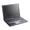
Desktop or laptop computer |
In addition to the MVUM map links on this page, you can also download the Travel Map, in color and with shaded relief. Download the map to your computer by clicking on the link to the right. This is a large file, so it may take up to 40 seconds to download, depending on your Internet speed. | Travel Map (PDF), 70 MB |

Smartphones or tablets running Android OS 4.1+ iPhone or iPad running Apple iOS 7.1+ |
Install the Avenza Maps app on your smartphone or tablet. The app is available free from the Apple or Google Play Store. From the app, search for Coconino National Forest maps published by US Forest Service R3. Once downloaded, the maps show your location on the map as you travel.
PDF, 130 kB |
Travel Map - for mobile devices This link takes you to the Avenza Maps store |
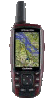
Most Garmin GPS Devices |
Click Garmin instructions PDF, 250 kB |
Travel Map Installer for Garmin GPS EXE Windows Executable, 7 MB |

Additional Maps
Under very restrictive conditions, limited off-road travel is permitted in some areas. Use the following maps to see where limited off-road travel is permitted for harvesting or snowmobile use.
Additional Travel Management Information
Coconino National Forest signed a Record of Decision on the Travel Management Project September 28, 2011, and began implementation of the new rules May 1, 2012. See our Travel Management page to access the Decision, Final Environmental Impact Statement, and other official documents and details regarding the Travel Management Rule and its implementation on the Coconino National Forest.
Does this Restrict Where I may Camp?
The MVUM does not restrict where visitors may camp on National Forest System lands. However, it does restrict where motor vehicles may be used for the purpose of camping. Use of motor vehicles away from designated roads for the sole purpose of camping is permitted on National Forest System lands up to 300 feet from the edge of a designated road where indicated by the MVUM's "dispersed camping" symbol . Also, visitors may park alongside any designated road's edge and walk to their campsite anywhere on National Forest System lands, except where specifically prohibited as indicated in closure orders. When parking along a designated road, drivers must pull off the travelled portion of the roadway to permit the safe passage of traffic.
Seasonal closures
Note there are scheduled seasonal closures and openings of some roads and areas, such as roads only opened during hunting season to allow game retrieval, and Quiet Areas designed to provide an enhanced hunting experience or protect seasonal game habitats.
MVUM maps for Southwestern Region forests and grasslands

