U.S. flag

An official website of the United States government

Geospatial Technology and Applications Center (GTAC)

Mapping Our Future Together

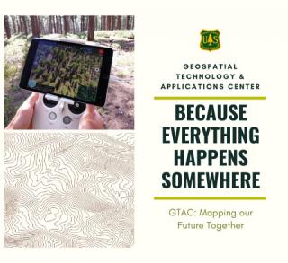
The Geospatial Technology and Applications Center (GTAC) provides leadership in geospatial science implementation in the USDA Forest Service by exploring and developing emerging technologies, working with partners to demonstrate their application in land and resource management, providing solutions to inform decision making, and building capacity to support new ways of "Caring for the Land and Serving People."

Caring for the Land

At GTAC we apply the latest in science and geospatial technologies to ensure our data products and services provide for reliable project analyses, better work prioritization and informed management decisions. GTAC promotes best practices and shares information resources with Agency partners to aid in land administration and resource management within the Nations Forests and Grasslands, and beyond.

Serving People

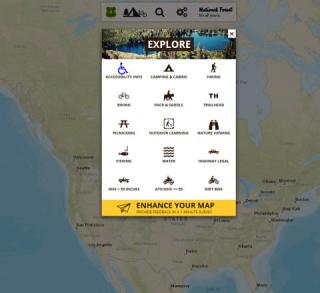
GTAC implements geospatial tools and technologies to share information in meaningful ways. We help the USDA Forest Service use geospatial communication tools to ensure information is widely available to the general public, stakeholders, and partners. To accomplish this GTAC is an integral partner in the publication of a variety of products and tools, including: authoritative agency data, map products, and interactive web viewers. These products help the agency communicate mission objectives, opportunities, accomplishments, and vital fire/emergency information.

Fostering Innovation

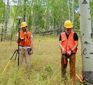
Evaluating new technology, tools, and expertise helps us identify new management strategies to accomplish our land management objectives and improve our ability to deal with dynamic threats such as fire, insects, disease, and other forest disturbances. GTAC evaluates new tools and technologies; applies the technologies to agency issues and challenges; communicates successes and best practices; and offers applied training and support to ensure employees have the knowledge and skills to implement new tools and technology on their home unit.


Mission: Mapping Our Future Together

Topographic lines

The Geospatial Technology and Applications Center (GTAC) provides leadership in geospatial science implementation in the USDA Forest Service by exploring and developing emerging technologies, working with partners to demonstrate their application in land and resource management, providing solutions to inform decision making, and building capacity to support new ways of "Caring for the Land and Serving People."

GTAC advances the Forest Service mission through the application of new geospatial science, technology, and methods to meet business requirements. Our efforts result in:

  • Better land management decisions,
  • More effective work processes, and
  • Improved communication with our public, interest groups, and partners.

GTAC External Products, Data and Services

These are examples of the work we are involved in. Contact us if you're interested in learning more.

Data and Services

Fire

For more about GTAC

https://www.fs.usda.gov/about-agency/gtac