Recreation

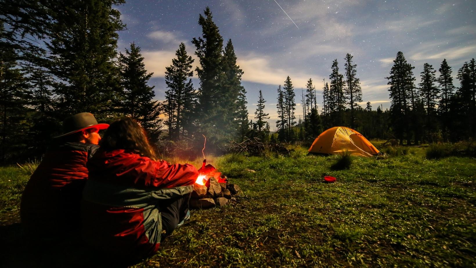
Rising from deserts, meadows and grasslands, the mesas, canyons and peaks of the Santa Fe National Forest are a place for re-creation. Whether you are gathering with family or gathering pinon nuts or firewood, the forest is a "querencia" - a special place. The past meets the present in this environment where year-round day use, water-focused recreation and trail opportunities offer a refuge in the cool mountain air. Thousands of cultural and archaeological sites reflect the Santa Fe National Forest’s rich historical heritage and the many cultures that value this landscape.
Current Recreation Conditions
| Area Name | Status | Area Conditions |
|---|---|---|
| Anastacio Trail | Open | |
| Aspen Vista Picnic Site | Open | |
| Atalaya Trail #170 | Open | Parking Lot A at St. John's College will be closed from Friday, March 3 through Monday, April 4. Alternative parking is available on Camino De Cruz Blanca, which is alongside Parking Lot A. |
| Baker Flat Picnic Site | Closed | Closed. Review the closure order and map: Temporary closure of area, roads and trails for Hermits Peak and Calf Canyon post-fire impacts |
| Battleship Rock Picnic Site | Open | Picnic Area is open for the 2024 season |
| Big Eddy Boat Take-out | Open | |
| Big Pine Picnic Site | Closed | Closed. Review the closure order and map: Temporary closure of area, roads and trails for Hermits Peak and Calf Canyon post-fire impacts |
| Big Tesuque Campground | Open | |
| Black Canyon Campground | Open | |
| Bluffs Fishing Site | Open | |
| Cecilia Trail #451 | Open | |
| Chavez Canyon Boat Launch | Open | |
| Clear Creek Campground | Open | Open for the 2024 Season. |
| Clear Creek Campground Group Area | Open | Open for the 2024 Season. |
| Clear Creek Picnic Site | Open | |
| Continental Divide National Scenic Trail #813 | Open | |
| Corralitos Trail #452 | Open | |
| Cowles Campground | Open | Campground shelters are temporarily closed while undergoing safety assessments. Campground remains open. |
| Cowles Ponds Fishing Site | Open | |
| Coyote Canyon Camping Area | Open | |
| Coyote Ranger District | Open | Areas closed for public safety due to the Indios Fire. Review Forest Order: 03-10-01-24-02. |
| Cuba Ranger District | Open | |
| Damian Trail #436 | Open | |
| Dark Canyon Fishing Site | Open | |
| E.V. Long Campground | Closed | Closed. Review the closure order and map: Temporary closure of area, roads and trails for Hermits Peak and Calf Canyon post-fire impacts |
| East Fork Trail (#137) | Open | |
| East Fork Trailhead #137 | Open | |
| El Porvenir Campground | Closed | Review the closure order and map: Temporary closure of area, roads and trails for Hermits Peak and Calf Canyon post-fire impacts |
| Field Tract Campground | Closed | Closed for 2024 season due to repairs needed. |
| Holy Ghost Campground | Open | |
| Holy Ghost Group Campground | Open | |
| Iron Gate Campground | Open | The campground is OPEN to the public but visitors may encounter a closed gate on Forest Road 223 before the campground. This gate is for livestock management. Please feel free to enter through the gate but close it again once you pass through. Thank you for your cooperation. |
| Iron Gate Trailhead | Open | Important Note: The campground and trailhead are OPEN to the public but visitors may encounter a closed gate on Forest Road 223. This gate is for livestock management. Please feel free to enter through the gate but close it again once you pass through. Thank you for your cooperation. |
| Jacks Creek Campground | Open | |
| Jacks Creek Group Campground | Open | No water due to temporary system outage. |
| Jacks Creek Horse Camp | Open | |
| Jacks Creek Trail #257 | Open | Trail cleared to Pecos Baldy Lake in July 2023. Trail may have blowdowns beyond this point. |
| Jemez Falls Campground | Open | Reservation Only - Create a reservation up to six months in advance through Recreation.gov or by calling toll free 1-877-444-6777. |
| Jemez Falls Group Picnic Site | Open | Must be reserved in advance through Recreation.gov or by calling Toll Free 1-877-444-6777. |
| Jemez Falls Trailhead | Open | Site is open for the 2024 Season. |
| Johnson Mesa Campground | Open | |
| La Cueva Picnic Site | Open | Picnic area is closed for the 2023 Season. |
| La Junta Fishing Site | Open | |
| Las Casitas Fishing Site | Open | |
| Las Conchas Day Use Site | Open | Picnic Site is closed for the 2023 Season. |
| Las Conchas Trailhead | Open | Vehicular Parking is limited. |
| Links Tract Campground | Open | |
| Little Tesuque Picnic Site | Open | |
| Los Pinos Trail | Open | |
| Lower Dalton Picnic Site | Open | |
| Oak Flats Picnic Site | Closed | Closed. Review the closure order and map: Temporary closure of area, roads and trails for Hermits Peak and Calf Canyon post-fire impacts |
| Ojitos Trail | Closed | Temporarily closed for public safety due to the Indios Fire. Review Forest Order: 03-10-01-24-02. |
| Paliza Family Campground | Open | Open for the 2024 Season. |
| Paliza Group Campground | Open | To make reservations for 2024 season, please visit Recreation.gov. |
| Palomas Trail #50 | Open | |
| Panchuela Campground | Open | |
| Panchuela Trailhead | Open | |
| Pecos - Las Vegas Ranger District | Open | Review the closure order and map: Temporary closure of area, roads and trails for Hermits Peak and Calf Canyon post-fire impacts |
| Pelones Trail #455 | Open | |
| Penas Negras #32 | Open | |
| Perchas Trail #418 | Open | |
| Redondo Campground | Open | Open for the 2024 Season - Campsites are available on a first come-first serve basis. |
| Resumidero Camping Area | Open | |
| Rincon Fishing Site | Open | |
| Rio Chama Campground | Open | |
| Rio De Las Vacas Campground | Open | Open for the 2024 Season. |
| Rio En Medio Trail #163 | Closed | The Rio en Medio Trail 163 was washed out from the Rio en Medio Trailhead to Aspen Ranch during the summer Monsoons of 2022. No longer a safe or easy route. Do not park in the small en Medio Trailhead. There is no longer trail access and the community of Rio en Medio needs that space for emergency parking for residents who lost their driveways due to flooding. The space is also needed for a turn around for heavy repair equipment. |
| Rio Gallina Trail #30 | Open | |
| Rio Nambe Trail #160 | Open | |
| Rio Puerco Campground | Open | Limited services may be available. Please be prepared and recreate responsibly. Park only in designated areas. Visit our Know Before You Go page for more information. |
| Rio Puerco Trail #385 | Open | |
| River's Bend Fishing Site | Open | |
| San Antonio Campground | Open | From mid-May through October campsites can reserved through Recreation.gov or by calling toll free 1-877-444-6777 |
| San Antonio Group Campground | Open | From mid-May through October - campsites are reserved through Recreation.gov or by calling toll free 1-877-444-6777. |
| San Antonio Hot Springs | Open | |
| San Diego Canyon Overlook Overlook Site | Open | |
| San Diego Fishing Site | Open | |
| San Jose Trail #33 | Open | |
| Spanish Queen Picnic Site | Open | |
| Spence Hot Spring Trailhead | Open | |
| St. John's Trail #174 | Open | Parking Lot A at St. John's College will be closed from Friday, March 3 through Monday, April 4. Alternative parking is available on Camino De Cruz Blanca, which is alongside Parking Lot A. |
| Upper Dalton Fishing Access Fishing Site | Open | |
| Vacas Trail/San Gregorio Lake Trailhead #51 | Open | |
| Vega Redonda Trail | Open | |
| Vista Linda Campground | Open | Current is open on a first come first serve basis |
| Windy Bridge Picnic Site | Open | |
| Winsor Trailhead and Winsor Creek Fishing Area | Open |
Spotlights
Espanola Ranger District

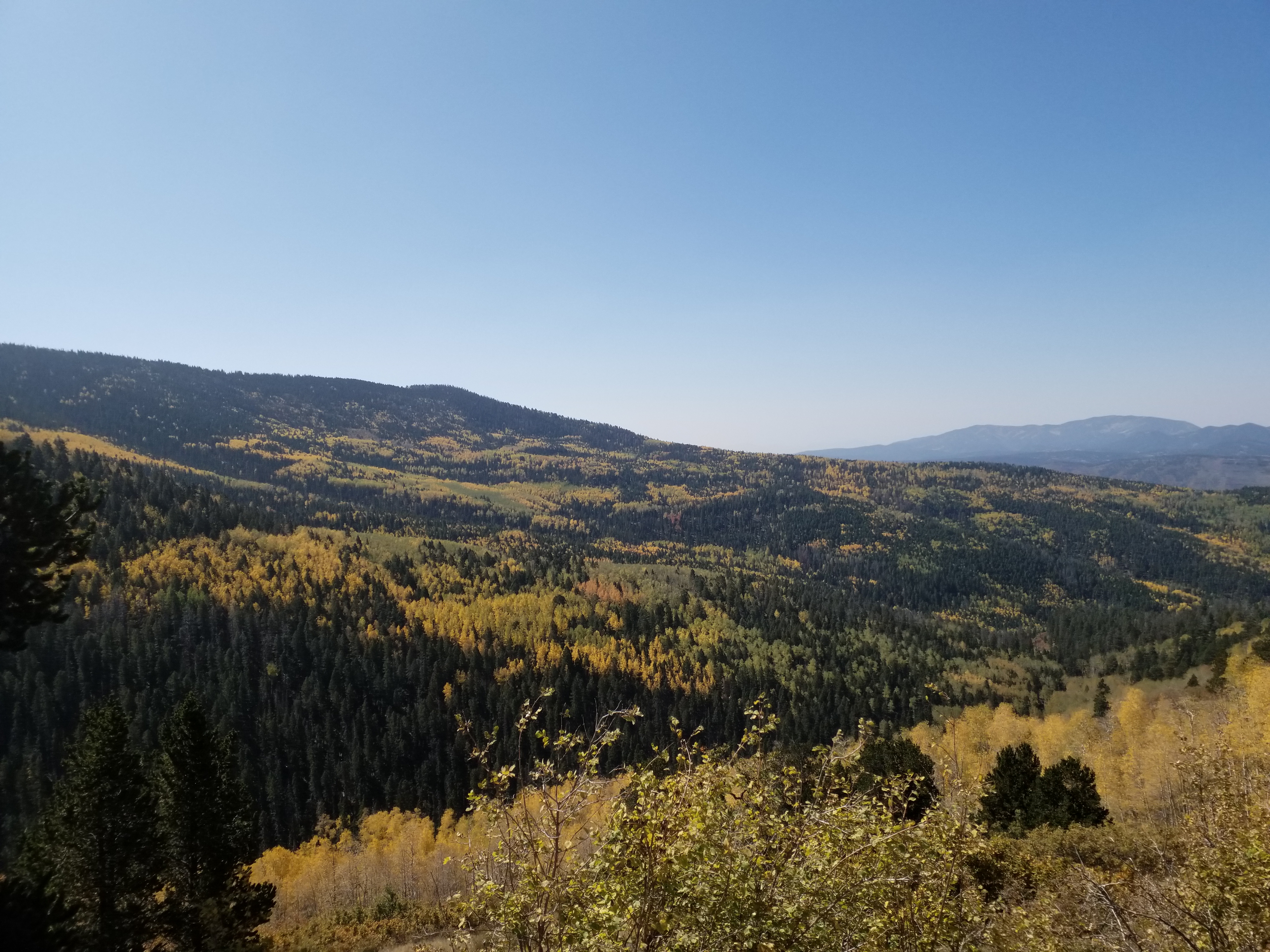
Española Ranger District contains the western segment of the iconic Pecos Wilderness, the Caja Del Rio Plateau, and many more scenic areas. The Truchas Peaks border the Pecos/Las Vegas and Española ranger district boundaries and are a popular hiking destination. Every fall, people are drawn to Hyde Park Road to view the enchanting golden fall foliage of the quaking aspen. There are plenty of developed sites to stop and enjoy the view! Both the Santa Fe and Los Alamos areas have trails nearby maintained by the Forest Service, providing an escape from city life and the summer heat.
There are four geographic regions that make up the Espanola Ranger District within the Santa Fe National Forest. These are the Forest lands South of Abiquiu, the Forest lands around Los Alamos, the Forest Lands West of Santa Fe known as the Caja del Rio, and the Forest Land North of Santa Fe within the Sangre de Cristo Range. A general map of popular recreation sites and trails in each of these areas can be seen by selecting the map area of interest below:
- General recreation areas within the Espanola District
- Abiquiu Area
- Los Alamos Area
- Caja del Rio Area
- Borrego Mesa Area
- Aspen Basin Area
- Santa Fe Area Trails
- North Espanola Area Trails
Coyote Ranger District

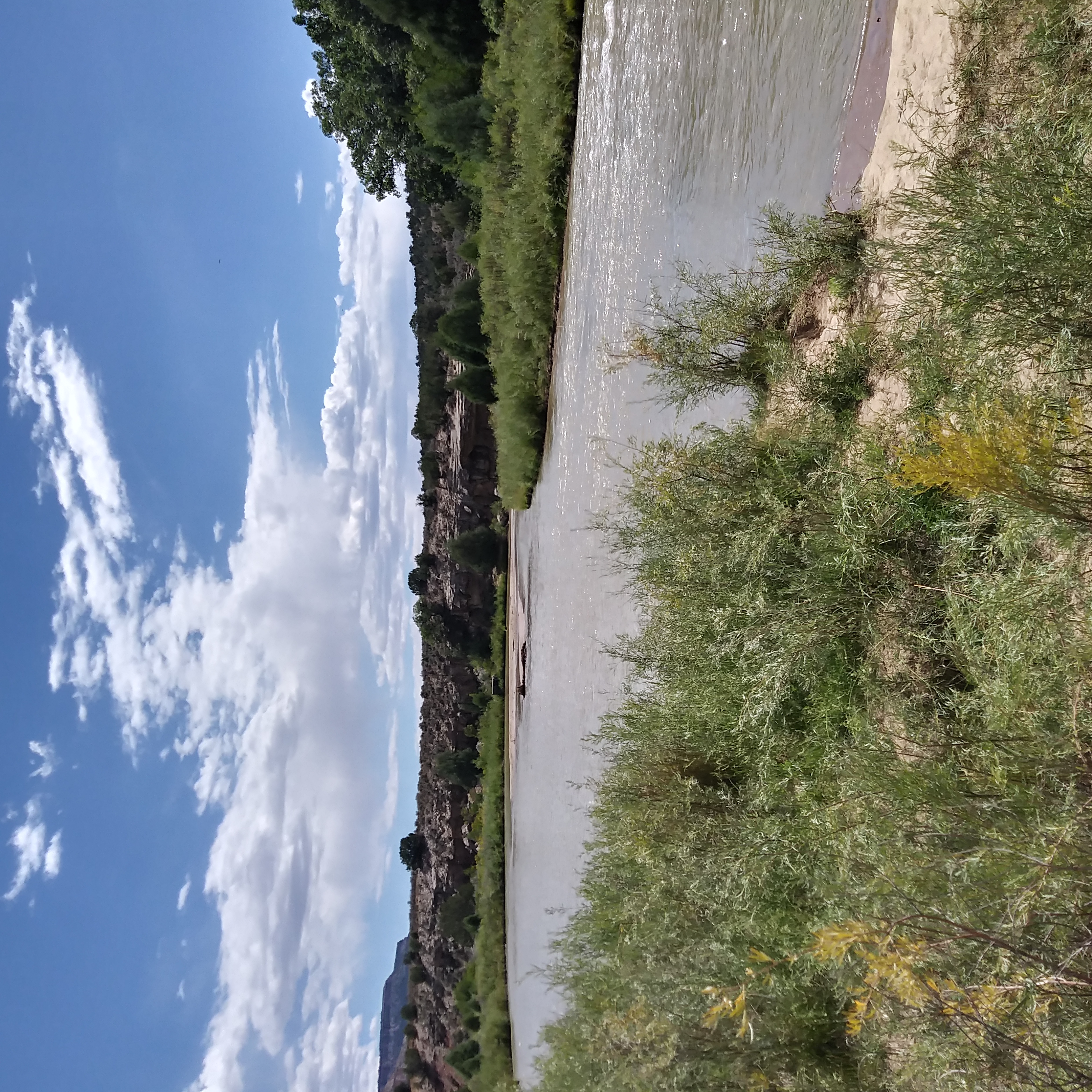
The Coyote Ranger District, the northernmost district of the Santa Fe National Forest, encompasses 265,100 acres. The Chama River Canyon Wilderness and the northern section of the San Pedro Parks Wilderness provide amazing recreation opportunities. Visitors delight in floating the Wild and Scenic Rio Chama or hiking in the San Pedro Parks to escape the summer heat. The Coyote Ranger District also has 40 miles of the famous Continental Divide Scenic Trail system passing through its canyons and forests.
Cuba Ranger District
The Cuba Ranger District is located in the western part of the Santa Fe National Forest and shares the San Pedro Parks Wilderness with the Coyote Ranger District. San Pedro Parks Wilderness is easily accessed through the San Gregorio Lake Trailhead, and the district also provides access to the Continental Divide Scenic Trail. The Rio De Las Vacas and Clear Creek Campgrounds provide visitors with scenic views of the surrounding mountains. It’s the perfect weekend getaway and a respite from the New Mexico summer heat. Bull elk bugle in the fall, and quaking aspen change their colors to gold as temperatures cool.
Jemez Ranger District

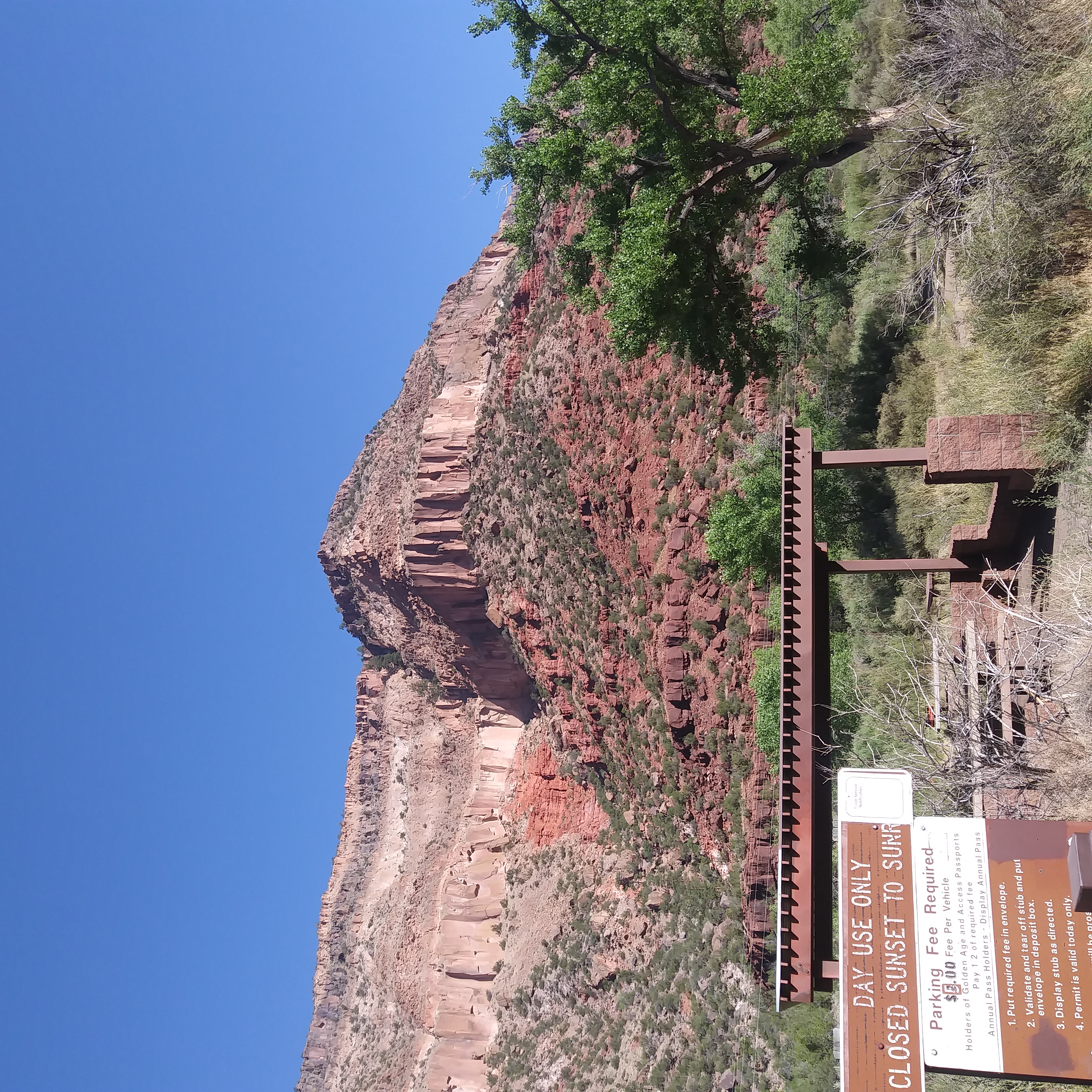
The Jemez Ranger District is home to the Jemez National Recreation Area, located within the Jemez Mountains. A drive through the district reveals multiple cultural landmarks and impressive geological formations. Red rock canyons, round peaks, colorful mesas and clear blue skies provide an inspiring backdrop. Cottonwood gallery forests dot the lower recreation sites and provide shade for anglers in the summer, turning brilliant hues of gold and yellow in the fall. In the higher elevations, quaking aspen take over and display their foliage of gold and red. Trails lead to hot springs and waterfalls, glimpses of the Valles Caldera, and majestic views of the mountains. A visit to the district will leave you enchanted by the land that the people of the Jemez Pueblo have lived in for generations.
Pecos - Las Vegas Ranger District

NOTICE: Parts of the Pecos/Las Vegas Ranger District are currently under a closure order. Please see the main Santa Fe National Forest homepage for more information about what areas are closed.
The Pecos/Las Vegas Ranger District is home to the iconic Pecos Wilderness, and the headwaters of the Pecos River originate from the district. A vast system of trails provide plenty of day hiking and backpacking for adventure seekers of all levels. Multiple campgrounds like Jack’s Creek, Iron Gate and Panchuela make great base camps for those exploring the wilderness. The Wild and Scenic Pecos River Corridor provides excellent stream fishing. The district, which extends east toward Las Vegas, is rich with history and wildlife. The Las Vegas side has trails that also extend into the Pecos Wilderness. From hunting to hiking, recreation opportunities on this district are plentiful.
Alerts & Warnings
- Jemez District Parking Area Closures
- NEVER Bring or Use Fireworks on Federal Lands. It is Illegal.
- Camping Area Closure at Headquarters Well Order Number # 03-10-06-24-07
- Forest Road 18 Closed Due to Flooding
- Forest Road-533, 98-A and 98 closure
- Temporary Area, Road and Trail Closure - Hermits Peak and Calf Canyon Post-Fire


