Editor’s note: The Forest Service, now in its second year of implementing its Wildfire Crisis Strategy, is treating 11 additional landscapes across the country to help reduce wildfire risk to communities. Combined with the initial 10 investment landscapes, these targeted investments will span upwards of 45 million acres. This article focuses on one of those landscapes in Southern California that encompasses four national forests and spans 4 million acres.
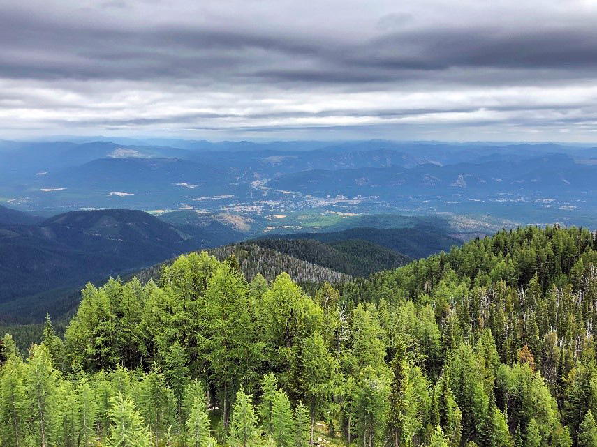
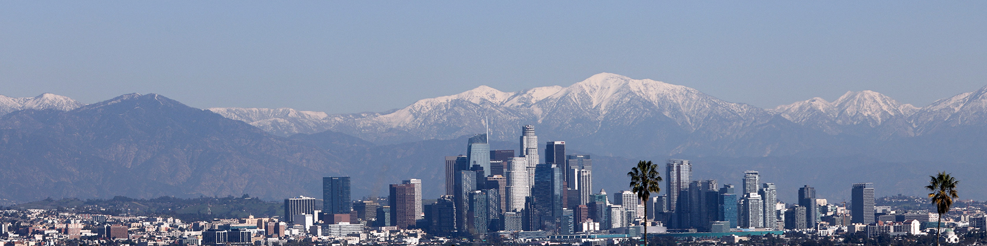
On a clear day in Los Angeles, it is readily apparent how close wildland spaces are to developed areas. National forests are the backdrop to the city’s skyline. In Southern California, it’s estimated that 10% of the country's population (25 million people) is just a short drive from a nearby national forest. Wildfire in these areas is an ever-present risk, threatening communities, communications infrastructure, recreation areas, archaeological sites, electric power lines, and roads.
Now the Forest Service, alongside partners, is increasing forest health treatments by up to four times current levels to protect at-risk communities and critical infrastructure across the West. “Confronting the Wildfire Crisis: A Strategy for Protecting Communities and Improving Resilience in America’s Forests” combines a historic investment of congressional funding with years of scientific research and planning.
In Southern California the Forest Service and its partners identified 4 million acres in high-risk firesheds which represent areas with the most urgent need for hazardous fuels treatment.
Reducing Risk to Communities in Southern California
The Angeles, Cleveland, Los Padres and San Bernardino National Forests have already begun work with partners across the landscape and across boundaries. The proximity of people, homes and communities in and around these forested areas makes them strategically significant to reducing wildfire risk.
Jeff Heys is the Forest Service’s Wildfire Crisis Strategy landscape manager for Southern California. He says a major shift has taken place in recent years toward reducing wildfire risk.
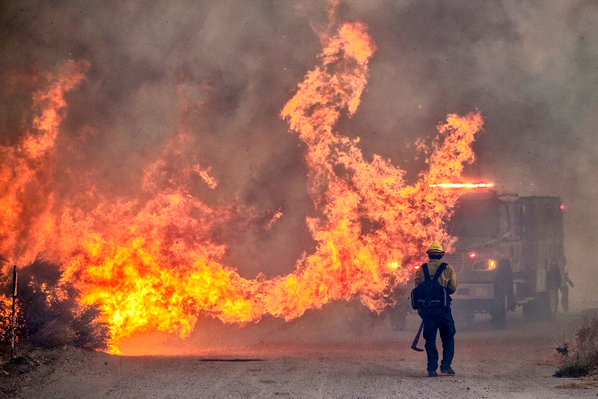
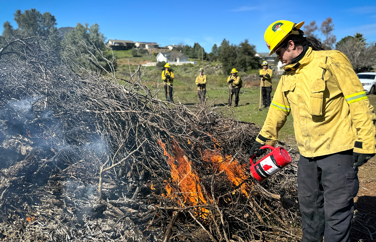
“Historically, we've put so much money and effort into fire suppression. Now we are putting a larger emphasis on proactive fire management,” said Heys. “That means reducing ignitions which usually occur along roadways, maintaining strategic fuel breaks so we can stop wildfire from moving into or out of our communities, and increasing forest health treatments.”
This year, the Forest Service is investing $10 million, the National Forest Foundation will invest $30 million, and the state of California is contributing $30 million to help reduce wildfire risk in Southern California beyond their ongoing investments.
“It's an encouraging starting point,” said Heys who added that investments in this type of collaborative landscape-scale work is only expected to grow in the coming years.
“Unsurprisingly, when it comes to wildfire risk reduction, there is no silver bullet.”
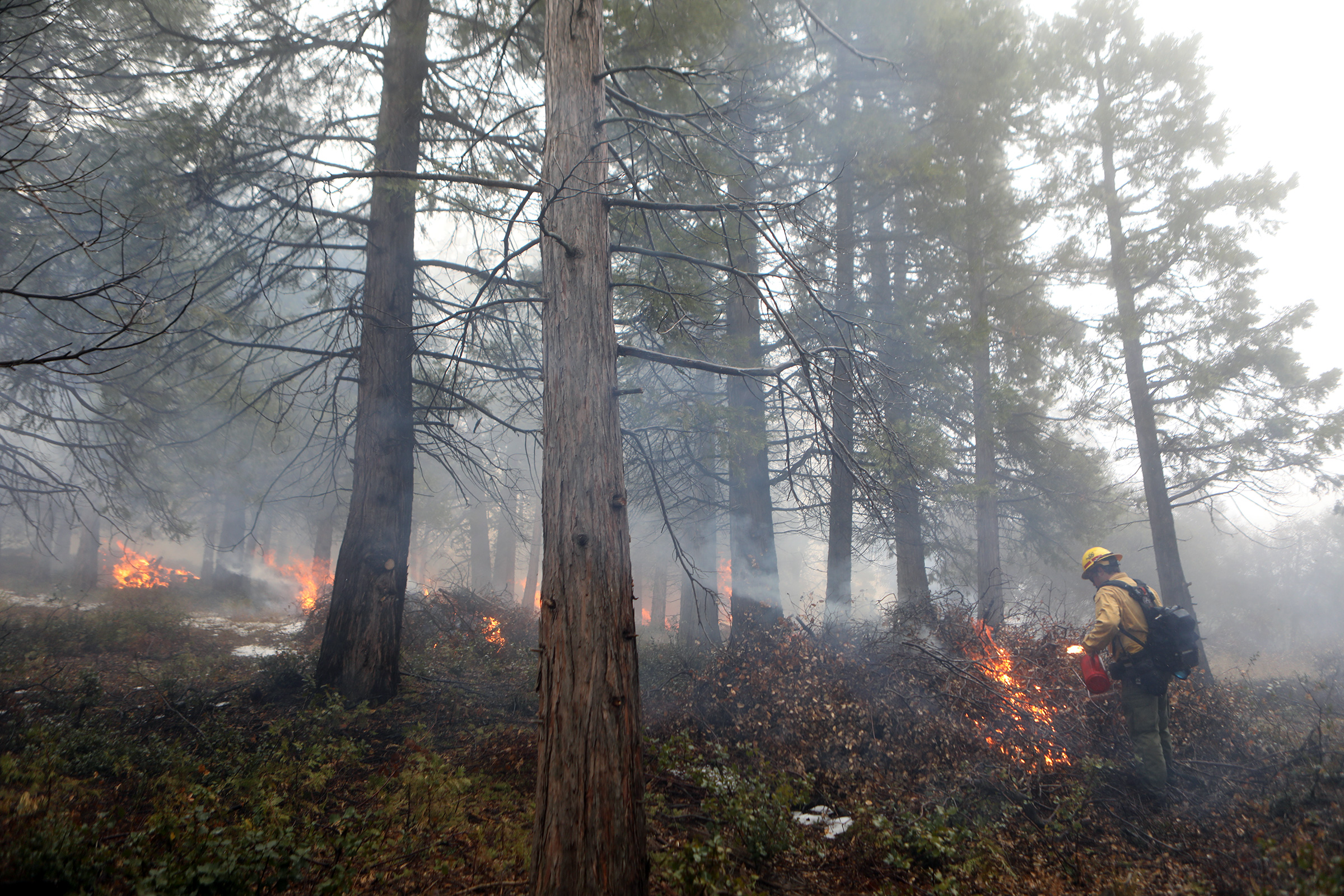
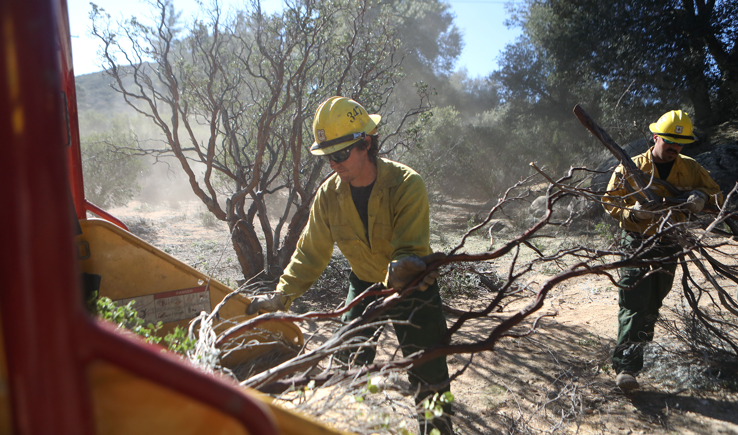
“We need to rely on all the tools — that’s forest thinning, prescribed fire, goat grazing, fuel breaks, mastication, piling and burning, and herbicide,” he added.
Just as there is no one catch-all tactic to reducing wildfire risk, there isn’t a single organization that can get the work done alone either.
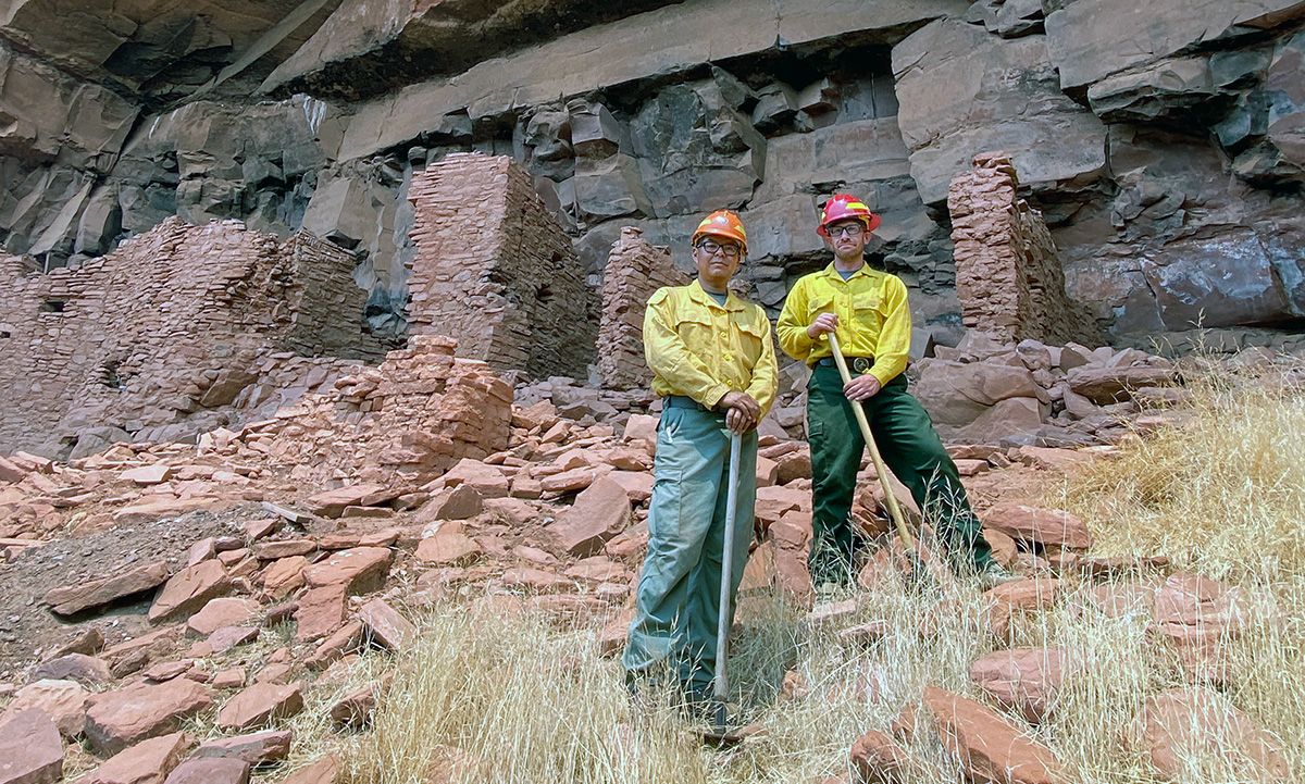
Seven large partner collaboratives are working together across the 4-million-acre landscape. They are helping implement work on national forests, in and around communities, and across many types of land ownerships and jurisdictions.
“We are all speaking the same language. We all know what needs to be done, and we're all ready to work together,” said Heys.
“Let's take Orange County as an example,” he continued. “The COAST [County of Orange Area Safety Taskforce] organization motivates everyone in Orange County to work together to achieve what's important in Orange County. The San Diego RCD [Resource Conservation District] does that for San Diego. The Inland Empire RCD and Community Foundation do that for the Inland Empire. The Santa Monica Mountains and Rivers and Mountains Conservancies do that for Los Angeles. And the Coastal Conservancy does that for the central coast, from Ventura to Monterey. So, each entity helps coordinate those efforts and build capacity at smaller scales. And all of them are in and adjacent to the national forests.”
They are also working to increase the involvement of 44 tribes in proactive fire management, including cultural burning, with the help of the Climate Science Alliance.
Recent accomplishments include an unprecedented 2,500 landscape-level prescribed fire carried out in June 2023 at Thomas Mountain on the San Bernardino National Forest. And the pace of work has never been faster, with contracts issued and fuels cut, piled and burnt over months instead of years.
“We don't have the capacity to do all of this work by ourselves,” said Heys. “All of these groups of partners, fire safe councils, elected officials and the governor's task force are essential to getting the work done and to achieving our common goal of lowering risks to communities.”
For more on the national strategy, please visit: Confronting the Wildfire Crisis | US Forest Service (usda.gov).
Learn about the agency’s 10 initial landscapes and additional 11 landscapes on the Forest Service website.
Explore more photos of the work we’re doing on Southern California forests on Flickr: Wildfire Crisis Strategy: Southern California | Flickr.