Nestled outside the bustling metropolis of Seattle, Washington, Kittitas County straddles the I-90 corridor, attracting outdoor enthusiasts and second-home owners seeking solace amidst nature’s beauty. These rural communities, once home to active forest products and coal industries, are quickly evolving into a recreational hub.
As the allure of the region grows, so too does the urgency of wildfire preparedness efforts. With an influx of residents and visitors alike, the county faces heightened wildfire risks, necessitating proactive measures to protect lives, property and the natural landscape.
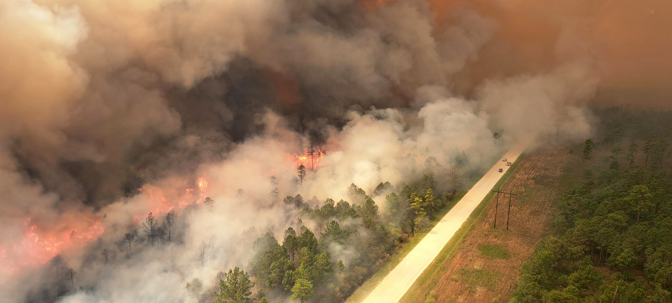
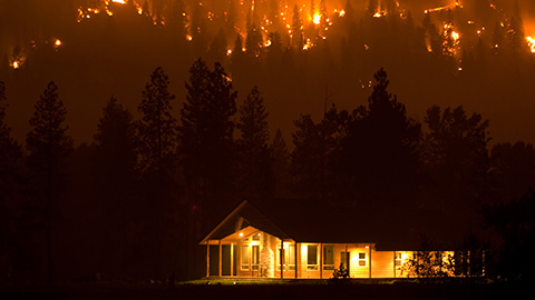
It is no coincidence that Washington state is prioritizing fuel reduction projects to bolster this county’s safety. The area has seen its fair share of wildfires. In 2012, the Taylor Bridge Fire burned about 30,000 acres and destroyed 62 structures, leaving a lasting memory with the people in Kittitas County.
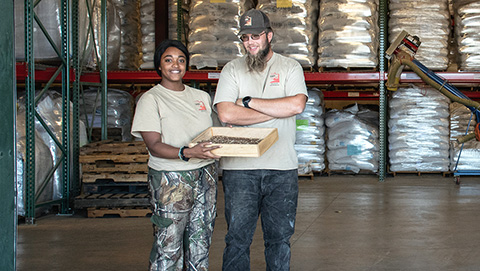
Since then, a grassroots partnership led by the Kittitas County Conservation District and the Kittitas Fire Adapted Communities Coalition has been organizing efforts to mitigate wildfire risks through strategic fuel reduction projects. Rose Beaton, previously a facilitator for the Kittitas Fire Adapted Communities Coalition and now a community resilience coordinator for the Washington Department of Natural Resources, played a key role in supporting these efforts while working with these organizations and many other partners.
"Evacuation route hardening is our number one priority," Beaton emphasized, referring to efforts to increase the ability for people to evacuate in the event of an emergency like a wildfire.
While many western Washington residents are planning how to get into Kittitas County on the weekend, Beaton is figuring out how to get them out. The unique geographical features of the region, characterized by narrow valleys and limited transportation infrastructure present significant evacuation challenges. In the event of an emergency like a wildfire, defensible evacuation routes are critical for public safety.
“There’s just not a lot of options, at least in the upper Kittitas County, for people to evacuate safely,” Beaton explained.
With few options to choose from, proactive measures to improve evacuation routes and community preparedness have never been more important.
The infusion of $10 million from the Community Wildfire Defense Grant program, funded by the Bipartisan Infrastructure Law, marks a significant milestone for the Kittitas County Conservation District and Kittitas Fire Adapted Communities Coalition’s efforts to take a proactive approach to fuel reduction.
"We've never had the resources available so that we could actually feel like we can get ahead,” Beaton emphasized.
The transformative funding from the U.S. Department of Agriculture’s Forest Service provides the partnership an opportunity to implement robust fuel reduction treatments and build sustainable strategies for long-term resilience. The project's scope extends beyond public lands to private properties, with a focus on collaboration and community engagement. Projects like widening fuel breaks along roads, utility corridors and other critical infrastructure are slated to begin this summer.

But the $10 million is buying more than just chipping and brush removal—it is also buying critical time needed during an emergency to get people out of harm’s way, as well as providing firefighters a safe place to work from when a wildfire starts.
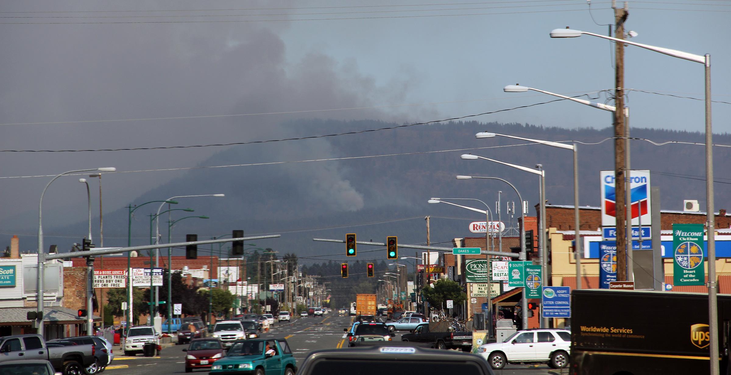
“We’ve had close calls,” Beaton admitted. “And so, we are thinking in terms of not just the traffic loading for the people that live here, but the traffic loading that we have on a daily basis on Interstate 90 that bisects our community.”
In 2020, 24,000 vehicles crossed over Snoqualmie Pass on I-90 every day and like most places, that traffic is likely to get worse.
Beyond the practical reasons for reducing fuels to help during emergencies, Beaton hopes these projects also will inspire residents to act. Visible efforts along roadways instill confidence in the community and foster a sense of shared responsibility for wildfire preparedness.
"I hope this project provides a tangible visual example of what can be done for communities,” Beaton said.
With dedicated individuals helping to bring the community together, this critical work holds the promise of enhancing community safety and resilience in the face of escalating wildfire risks. While everyone hopes the next fire will never come, Beaton knows the work done today will one day help save lives.

The Community Wildfire Defense Program, funded by the Bipartisan Infrastructure Law, assists at-risk communities, including Tribal communities, with planning for and lowering wildfire risks on tribal, state, and privately managed land. The program comes at a time when the nation faces an ongoing wildfire crisis, and these grants support the Forest Service’s plan to confront the wildfire crisis across all lands.