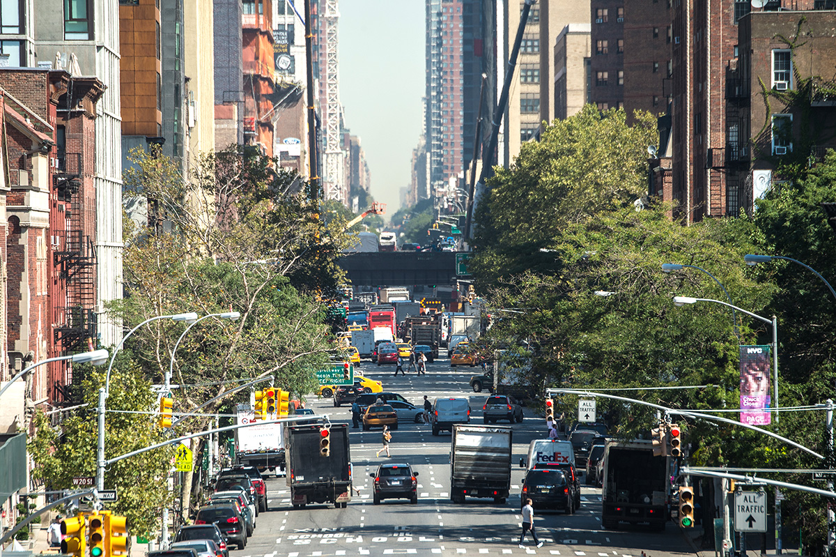
Tree canopy cover is a vital but impermanent urban asset. “Urban tree canopy” is the extent of the outer layers of leaves (or canopy) of a tree or group of trees. Tree canopy can increase dramatically in a year with excellent growing conditions, and just as dramatically it may disappear in a single season in the face of insect infestations or drought or a change in land use.
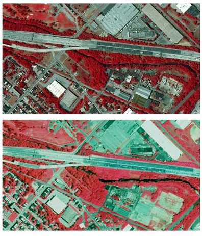 Baltimore City’s tree cover increased from 27 to 28 percent between 2007 and 2015, based on data analyzed by the Forest Service and in collaboration with City of Baltimore and the University of Vermont. Tree canopy coverage for cities in the United States range from less than 20 percent to upwards of 40 percent. Baltimore’s one percent net gain equates to an additional 200 acres of tree coverage for the city and a continued increase in benefits such as a reduction in utility bills and storm water runoff.
Why should anyone care about the extent of tree cover? As it turns out, tree coverage has immense benefits for cities. Research by the Forest Service and others is demonstrating a positive correlation between trees and public safety (more trees equal less violent crime and crimes against property), regardless of socioeconomic factors. Urban forests have positive impacts on human health (reduced asthma and other respiratory problems) and economic development (increased property values and business performance), while exposure to nature can relieve ADHD symptoms and improve academic performance. Trees improve water quality and reduce flooding by acting as purifiers and sponges during and after rainfall, filtering fertilizers, pesticides, and pollution that washes off roads and other impervious surfaces.
The tree canopy change detection in Baltimore was carried out using high-resolution aerial imagery and 3D airborne laser-guided data detection, known as LiDAR. Change was mapped at the individual tree canopy level for every single tree in the city, overcoming the limitations of other studies that used coarser resolution data or sample-based approaches.
The Urban Tree Canopy approach and protocols used in the Baltimore assessment were invented by the Forest Service in 2006 to map and quantify landcover for Baltimore City. The aim of the Urban Tree Canopy assessment is to help decision makers understand their urban forest resources, particularly the amount of tree canopy that currently exists and the amount that could exist at multiple scales.
To learn more about the technology and technique behind urban tree canopy assessment, visit: https://www.nrs.fs.fed.us/urban/utc/