Research Maps
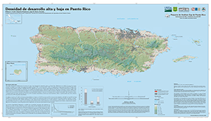
The U.S. Forest Service Research Map series is a national publication series patterned after the Forest Service General Technical Report (GTR) series to convey new geospatial information derived from Forest Service research. The maps in this research series are peer reviewed by at least 3 sources, with at least one source from outside the agency. The Maps developed at the Institute are all published in English and Spanish. The Institute published its first research map in 2008.

Título Analisis espacial de las areas protegidas terrestres de Puerto Rico.
Año 2013

Title Landscape units of Puerto Rico: influence of climate, substrate, and topography.
Year 2008

Título Unidades del paisaje de Puerto Rico: la influencia del clima, el substrato y la topografia.
Año 2008
For updates about new publications and products please Follow @USFS_IITF
Page last modified: 11/14/2018


