
Official websites use .gov
A .gov
website belongs to an official government organization in the
United States.
Secure .gov websites use HTTPS
A lock
(
) or https:// means you've safely
connected to the .gov website. Share sensitive information only
on official, secure websites.


Aerial Detection Survey Quad Maps
Aerial detection survey (ADS) maps are available for the following years:
2023 2022 2021 2020 2019 2018 2017 2016 2015 2014 2013 2012
2011 2010 2009 2008 2007 2006 2005 2004 2003
About Aerial Detection Surveys
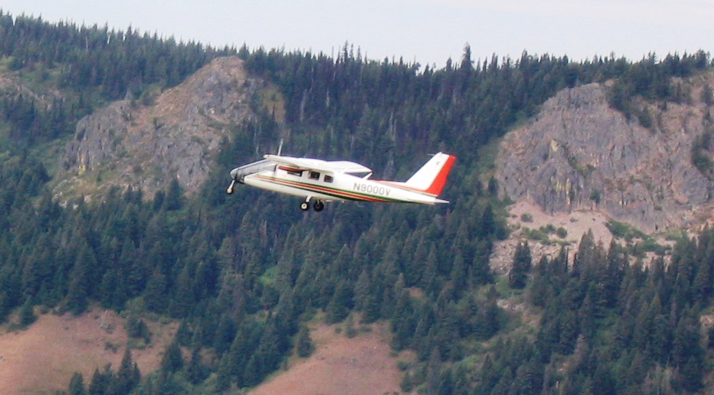 These maps are based on cooperative aerial surveys conducted by Forest Health staffs of the Oregon Department of Forestry, Washington Department of Natural Resources, and the USDA Forest Service Pacific Northwest Region.
Each map is a 1 to 5 MB pdf file - select a year (above), then click on a quad to view a map. You can save the file to your local disk and view/print as needed. Zoom views can be printed on 8.5 x 11 printers, while full maps are best printed at 36" x 36" on a full scale plotter.
The maps can also be used with the Avenza PDF Maps Mobile App. This application is a geospatial reader for Apple and Android mobile devices and allows for interaction with spatially referenced maps to view your location, record GPS tracks, add placemarks, and find places.
Learn more about current aerial surveys or the special information about the 2020 survey and data due to COVID-19. For a historical perspective, view a 1955 manual (6.8 MB pdf). Aerial survey observations and other data have been summarized in annual Forest Health Highlights, Forest Insect and Disease Conditions, and other related reports. Download the aerial survey data on which these maps are based.
Contact Us
If you have any questions or comments regarding these maps or the information they provide, we would like to hear from you:
Phil Chi - Geospatial Information Specialist, Forest Service Regional Office, State and Private Forestry
phillip.chi@usda.gov
Justin Hof - Washington State Aerial Survey Coordinator, Forest Service Regional Office, State and Private Forestry
justin.hof@usda.gov
Tim Bryant - Oregon Aerial Survey Coordinator, Forest Health Protection Regional Office, State and Private Forestry
timothy.bryant@usda.gov
Daniel DePinte - Aerial Survey Program Manager,Forest Health Protection Regional Office, State and Private Forestry
daniel.depinte@usda.gov
Karen Ripley - Forest Entomologist and Forest Health Program Manager, Forest Service Regional Office, State and Private Forestry
karen.ripley@usda.gov
You may also contact your local Forest Health Protection (FHP) Service Center for more information. There are five service centers in Oregon and Washington providing assistance to federal resource managers. These offices are located in: Wenatchee, Washington; Bend, La Grande, Medford, and Sandy, Oregon.
URL: www.fs.usda.gov/goto/r6/fhp/ads/maps
Forest Health Protection (FHP)
