
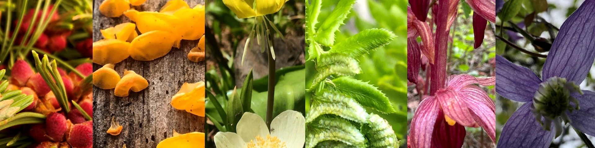
Welcome to the Helena-Lewis and Clark National Forest
The scenic Helena-Lewis and Clark National Forest stretches 2.8-million acres through central and north-central Montana. The Forest is comprised of island mountain ranges bisected by the Continental Divide and Missouri River and includes 6 ranger districts: Lincoln, Helena, Townsend, Judith - Musselshell, Rocky Mountain, and Belt Creek - White Sulphur Springs and 2 Forest Supervisor's offices located in Helena and Great Falls to oversee forest management in 17 counties.
Forest Plan

Learn about projects the Forest is engaged in and how this work aligns with our forest plan and drive for flourishing and abundant resources.
Firewood and other special use permits
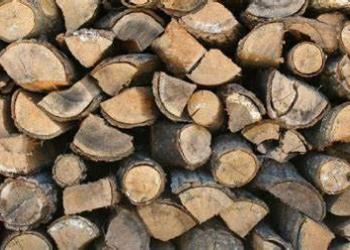
Need a firewood permit, Christmas tree or mushroom permit? Many of our permits are free and now available online.
Maps and guides
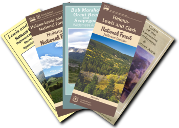
Looking for a map to download to plan your next adventure? Check out the free maps we have available!
Cabin rentals and camping opportunities
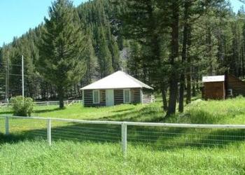
The Forest features numerous campground and cabin rental opportunities. Plan your next getaway today!
Fire
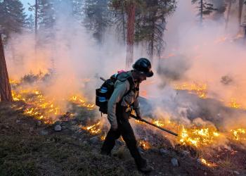
Where is that smoke coming from? What's the difference between a wildfire and prescribed fire? Learn more.
Get involved
We could not do our work without help from numerous partners and volunteers. Learn more about opportunities to get involved.


