
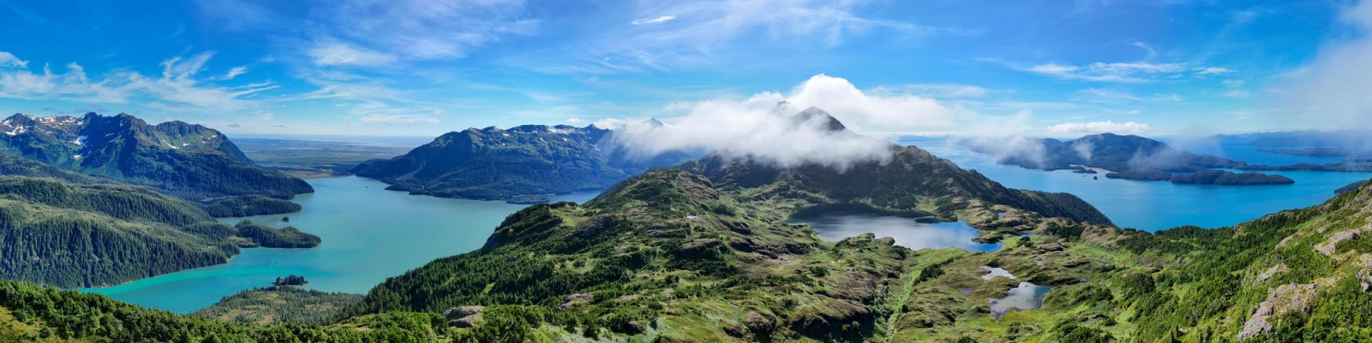
Welcome to Chugach National Forest
From the Kenai Peninsula, across the Prince William Sound to the Copper River Delta, the Chugach National Forest offers visitors the adventure of a lifetime. With over 500 miles of trails and many more of coastline, flourishing wildlife, salmon runs, world class birding, mountains, ice fields, lakes, rivers, and wetlands myriad opportunities for discovery await.
Choose your own adventure via plane, boat, car, foot, skiis, snow machine, or train! The Chugach National Forest is the perfect place to connect with nature and enjoy the results of committed stewardship.
Chugach NF Visitor Guide

The Chugach National Forest Visitor Guide offers maps and opportunities by geographic region and an excellent place to begin your visit.
2025 Christmas Tree Cutting

Are you ready to celebrate the time-honored tradition of heading out into the forest to select your own perfect Christmas Tree? Here is everything you need to know!
"Caring for the land and serving people"

This inspired motto conveys the U.S. Forest Service mission with clarity and hopefulness. It has endured for more than 40 years.


