
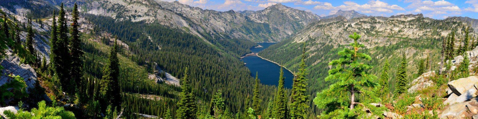
Welcome to the Bitterroot National Forest
Leave your stress behind! You will find this 1.6-million-acre forest in southwest Montana and Idaho to be a priceless national heritage. Half of the forest is dedicated to the largest expanse of continuous pristine wilderness in the lower 48 states - the Selway Bitterroot, Frank Church River of No Return, and the Anaconda Pintler.
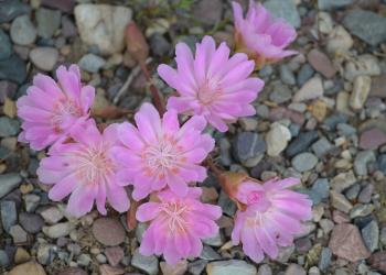
The abundance of natural resources offers a wide range of opportunities for recreation, grazing, wildlife, fisheries, timber, and minerals. Come enjoy the magnificent mountains, the serenity of wilderness, the miracle of spring flowers, majestic big game, and the sounds of birds here in our land of multiple uses.
Recreation
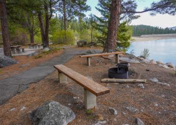
Explore campgrounds, cabins, and recreational opportunities.
Reserve a Cabin or Lookout

Enjoy a unique recreational experience at one of many rental lookouts and cabins on the Bitterroot National Forest.
Get permits
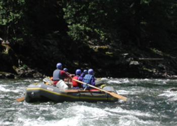
Harvest firewood, Christmas trees, and mushrooms. Learn more about applying for a Selway River float permit, view the current river reading at Paradise, and more.
Find out if your activity requires a permit.
Recent News

Keep up to date on the latest information.
Fire Information
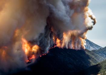
Learn more about current wildfires, fuels management, prescribed burning, and fire prevention.
Have a question or concern
Let us know how we can help.


