
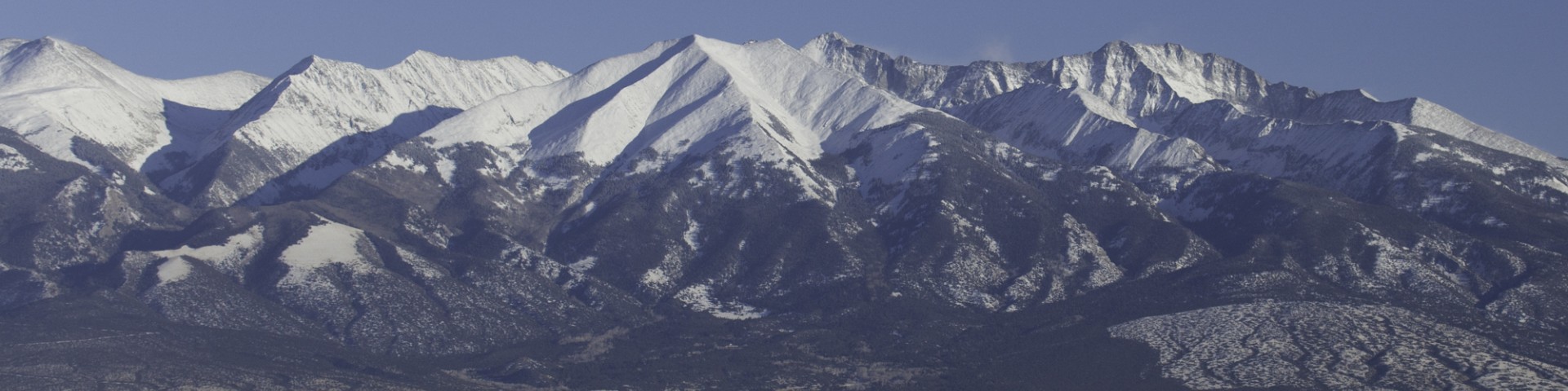
Sangre de Cristo Region
The eastern boundary of the Rio Grande National Forest is comprised of the towering Sangre de Cristo Mountain range with its numerous peaks rising over 7000 feet from the valley floor to over 14,000 feet above sea level. With abundant opportunities for recreational activities, the only problem is where to start.
The region extends from Methodist Mountain, near Poncha Pass on the north, southward along the mountain range to just south of Blanca Peak, Colorado's 4th highest mountain. The eastern boundary of the region is the top of the mountain range where it meets the San Isabel National Forest. The western boundary is near the valley floor at the Rio Grande National Forest boundary. The Great Sand Dunes National Park and Preserve occupies a large portion of the southern part of the region.
General Information
Camping, hiking, climbing, backpacking, horseback riding, OHV riding and more activities are available.
The southern end of the region is managed by the Conejos Peak Ranger District and the northern portion is managed by the Saguache Ranger District.