
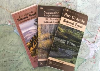
Visitor Maps and Guides
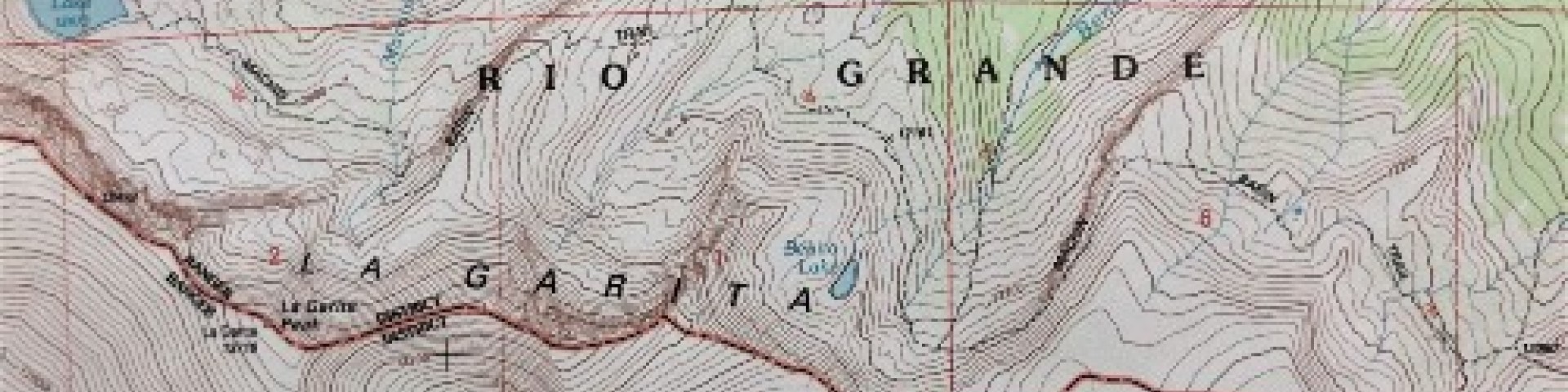
Many maps and publications are available to provide visitors with information about the Rio Grande National Forest. Visitor information maps are available in plastic coated maps or digital, geo-referenced maps that show roads and highways, cities, bodies of water, recreational sites, campgrounds, trails, private and public land designations, and more. The paper maps are $16 and digital editions cost $5.
Motor Vehicle Use Maps (MVUMs) show motorized roads, trails, and seasonal closures. They are available at our ranger district offices for free. Geo-referenced maps are free to download. Learn about these and other map products using the links below.
The Rio Grande National Forest Visitor Guide (below) provides a comprehensive overview of the Forest, recreational opportunities, history, and more.
Buy Visitor Maps Online
The US Geological Survey offers a variety of maps, geospatial map applications, and more. The San Juan Mountains Association, a partner organization, also sells maps online.
Motor Vehicle Use Maps
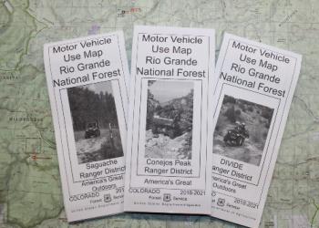
Motor Vehicle Use Maps show national forest system roads & trails open to motorized travel.
Mobile Friendly Maps
Download our Forest Visitor Maps to your mobile device via the Avenza app.
Rio Grande National Forest Visitor Guide

The Rio Grande National Forest Visitor Guide provides an overview of the Forest, recreational opportunities, history, and more!