
Recreation
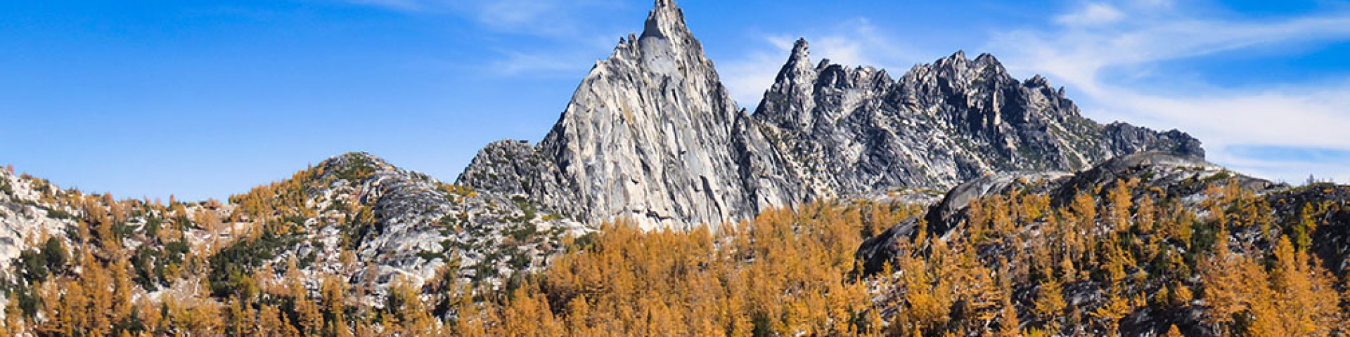
With over 6,000 miles of trails, 177 campgrounds, and eight Wilderness areas, there is something for everyone on the Okanogan-Wenatchee National Forest. Find your next adventure by visiting one of our six Ranger Districts and exploring what your public lands have to offer.
Trails pages are currently not available. In the mean time, many of our fantastic partners do have resources on their websites to help you plan your trip. We recommend checking the trailhead pages below for the authoritative information on pass and fee requirements, closures, and other rules. You may also visit one of our partners' pages for more information on conditions and what to expect. The Forest Service does not monitor or validate the information on these partner pages, and most rely on user input, so please use caution and prepare for all possible conditions.
Washington Trails Association hiking guides and trip reports have information on most non-motorized trails across the forest.
In the Methow Valley, visit the Methow Valley Trails Collaborative trail conditions page.
Along the 1-90 corridor in the Cle Elum Ranger District, the Mountains to Sound Greenway maintains information on exploring the region.

With 422,000 acres and over 250 miles of maintained trails, visitors will delight in getting to know the more northern reaches of Lake Chelan.

A 419,554 acre outdoor playground is closer than you think. With 200 days of sunshine, only 20 inches of rain and 80 inches of snow, recreation opportunities are endless.

The Entiat Ranger District comprises 272,101 acres located in the arid eastern slopes of the Cascade Mountains.

With its big valleys, remote expanses, high ridges and beautiful rivers, the Methow Valley Ranger District's 1.3 million acres extends from near the town of Twisp.

From the town of Naches, all the way up to White Pass, the Naches Ranger District encompasses approximately 518,000 acres of recreation opportunities.

The Wenatchee River Ranger District encompasses approximately 696,000 acres and extends from near the Columbia River to the crest of the Cascades.