
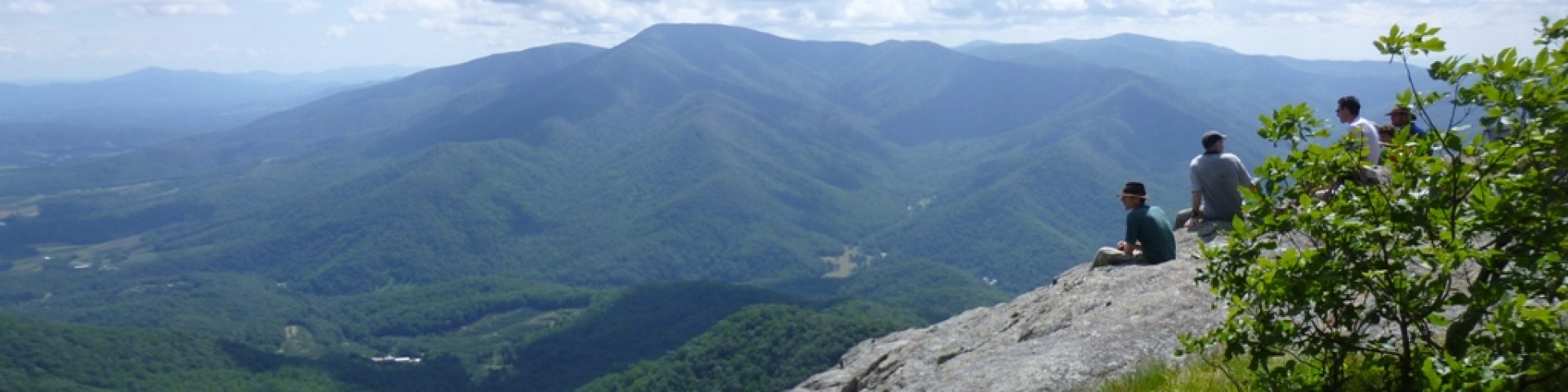
Recreation
From lush woods and cold mountain streams to unique mountaintop balds, over 1.8 million acres of Appalachian forests in Virginia, West Virginia, and Kentucky are yours to explore.
Recreation opportunities abound on the George Washington & Jefferson National Forests.

The Clinch Ranger District, located in the Cumberland Mountains section of the Appalachian Plateau in southwest Virginia, has mountainous terrain, deep valleys, and fresh b
The Eastern Divide Ranger District offers recreation opportunities in Bland, Botetourt, Craig, Giles, Montgomery, Pulaski, Roanoke, Smyth, Tazewell, and Wythe counties, Vir
Recreational opportunities in the Glenwood Pedlar Ranger District abound.
Visitors to the James River and Warm Springs Ranger District have opportunities to visit two wilderness areas located among the Alleghany Mountains in the western section o
The Lee Ranger District offers recreation opportunities in Frederick, Page, Rockingham, Shenandoah, and Warren Counties in Virginia and Hampshire and Hardy Counties, West V
The Mount Rogers National Recreation Area offers unique recreation opportunities in a 5,000ft high area with large rock formations, mountain balds, and spruce-fir forests.
The North River Ranger District offers recreation opportunities in Augusta, Highland, and Rockingham counties, Virginia and Pendleton county, West Virginia.