
Official websites use .gov
A .gov
website belongs to an official government organization in the
United States.
Secure .gov websites use HTTPS
A lock
(
) or https:// means you've safely
connected to the .gov website. Share sensitive information only
on official, secure websites.


Coleman Trail - #34011
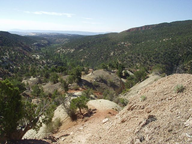
An access trail to Sand Creek and the Box-Death Hollow Wilderness. Can be a day trip or multi day trip. For more information on the BLM Permit required for overnight dispersed camping in Sand Creek area contact the BLM at the Escalante Interagency Visitor Center at 435-826-5499.
At a Glance
| Usage: | Light |
|---|---|
| Restrictions: | Open to: Hikers, horse riders Closed to: Bikers, OHVs, motorized vehicles, including E-bikes |
| Closest Towns: | Boulder, UT |
| Water: | Water is available at Sand Creek. Filter all water for drinking. |
| Operated By: | Forest Service |
| Information Center: | Escalante Interagency Visitor Center (435) 826-5499 |
General Information
Directions:From Escalante head east toward Boulder on Hwy 12. Between mile markers 83 and 84 turn left on the road signed “Hells Backbone Road and Salt Gulch.” This becomes Forest Road 153 (FR 153) after passing the Dixie National Forest Sign. After 5 miles you will cross a small bridge and there is a pull out immediately to the left. Park here, the trail begins to the left of the large boulder.
Activities
Day Hiking
No permit required for day hiking.
Hike responsibly: Be Bear Aware and follow Leave No Trace Principles.
| Difficulty Level: | Moderate |
|---|
Backpacking
Permit required for camping on the Bureau of Land Management (BLM).
Hike responsibly: Be Bear Aware and follow Leave No Trace Principles.
| Difficulty Level: | Moderate |
|---|
Horse Riding
Permit required for camping on the Bureau of Land Management (BLM).
Camp responsibly: Be Bear Aware and follow Leave No Trace Principles.
| Difficulty Level: | Moderate |
|---|

Location