
Recreation
National forests and grasslands are ours to enjoy now. We want them to be enjoyed for future generations as well. So is it up to all of us to take care of these natural resources.
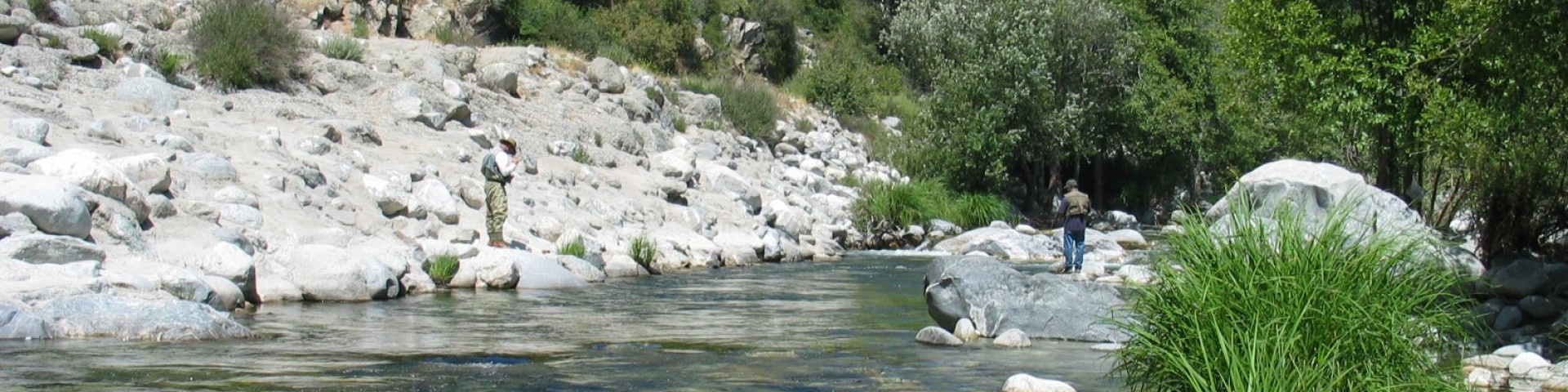
Explore the forest!
- Large Interactive Visitor Map
- Recreation Site Status Map
- Mapa de Estado Actual de Sitios de Recreación
- Kid-friendly locations on the National Forests in California
- Recreation.gov for reservations
You can also visit our FAQ's for answers to many common visitor questions. Versión en Español: Preguntas Frecuentes del visitante.

The Los Angeles Gateway District Office is located at 12371 N. Little Tujunga Canyon Road, Sylmar, CA 91342.
San Gabriel Mountains National Monument Office is located at 110 N. Wabash Avenue, Glendora, CA 91741
Angeles National Forest Supervisor's Office
Site Open
The Angeles National Forest Supervisor's Office is located at 701 N. Santa Anita Avenue, Arcadia, CA 91006Forest Supervisor: Roman TorresVoice (626) 574-1613FAX (626) 574-5207CRS (800)…
Appletree Campground
Site Open
General Camping Info: Find helpful guidance and tips for an enjoyable trip to the forest!Be Bear Aware!: Bear safety is critical, for the safety of your group and/or you, as well as our bears.…
Arch-Big Pines Picnic Site
Site Open
Elevation: 6.800-feetSite managed by concessionaire Mountain High. Please contact them for any updates, concerns, or questions at: (760) 316-7828 or campgrounds@mthigh.com. You can also visit their…
Bandido Group Campground
Site Open
General Camping Info: Find helpful guidance and tips for an enjoyable trip to the forest!Know Fire & Other Restrictions Before You Go!: These conditions can affect your entire trip. For…
Bear Campground
Site Open
The Angeles National Forest has completed improvements to Sawmill and Bear campgrounds through Great American Outdoors Act funds.Improvements include new fire rings, bear-proof storage lockers,…
Bear Canyon Loop Trail
The Bear Canyon Loop Trail is 0.5 miles long. It begins at Mt. Baldy Trail-mp.6 and ends at Mt. Baldy Trail-mp.9. The trail is open for the following uses: Hiking
Bear Canyon Trail
The Bear Canyon Trail is 5 miles long. It begins at Mt. Lowe Truck Trail (2N50.1) at the water tank and ends at Gabrielino National Recreation Trail below Switzer Falls. Not recommended for…
Bear Canyon Trail Camp (Hike-in Campground)
General Camping Info: Find helpful guidance and tips for an enjoyable trip to the forest!Know Fire & Other Restrictions Before You Go!: These conditions can affect your entire trip. For example,…
Bear Creek Trailhead
Site Open
General Information about the Trail:The Bear Creek Trail is 11-miles-long. It begins at Valley of the Moon Plantation along Hwy. 39 and ends at the West Fork of the San Gabriel River. The trail is…
Bear Divide Vista Area
Site Open
Be Bear Aware!: Bear safety is critical, for the safety of your group and/or you, as well as our bears. Help keep bears wild by following these tips.