
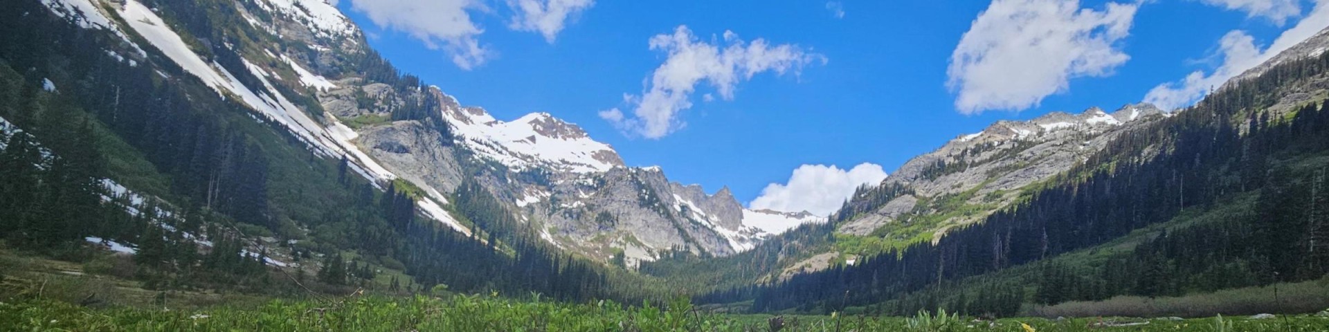
Phelps Creek Trailhead
This trailhead provides access to the Phelps Creek Trail #1511 which enters Glacier Peak Wilderness at 2.6 miles.
This trailhead also accesses Carne Mountain Trail #1508.
General Information
Getting There
Latitude / Longitude
Latitude: 48.0832
Longitude: -120.835
Elevation
3,500 feet
Directions
From Leavenworth, take US-2 West for 15 miles. At Coles Corner, turn right on WA-207 North and go 4.4 miles. Go right on Chiwawa Loop Road and stay right at the intersection. Then take the second left onto Chiwawa River Road/Forest Road 6200 and follow it for about 22 miles. Road becomes gravel/dirt at 11-mile point. Continue another 11 miles. Take a slight right onto Phelps Creek Road and go 2.3 miles. The trailhead is located at the end of Phelps Creek Road/Forest Road 6211.
Facility and Amenity Information
Restrooms
Restrooms are not available at this site.
Water
Potable water is not available at this site.