
Fremont National Recreation Trail #160
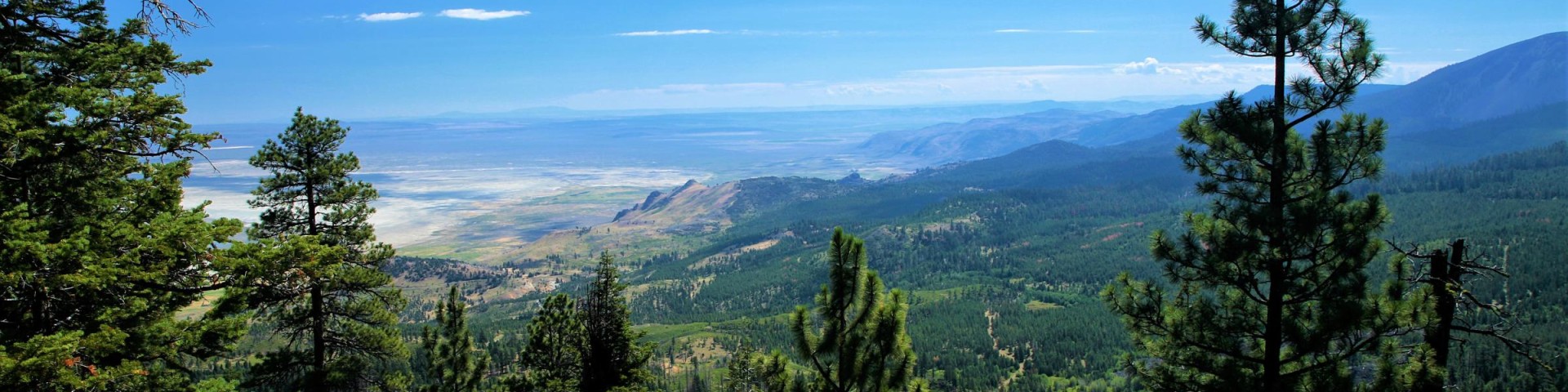
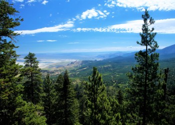
The Fremont National Recreation Trail, also known as the Southern Oregon Intertie Trail, traverses most of the length of the Fremont National Forest from north to south. In the north it begins at Yamsay Mountain and makes its way south over Hager Mountain and along Winter Rim to the Warner Mountains where it joins the Crane Mountain National Recreation Trail #161. From that junction visitors can either continue north on the Fremont National Recreation Trail to Vee Lake or take the Crane Mountain National Recreation Trail #161 south to the California border and beyond.
The Fremont National Recreation Trail #160 has three main segments: northern, middle, and southern. The northern and middle segments pass near the towns of Silver Lake, Summer Lake and Paisley, OR and terminates near Lakeview, OR at Cox Pass. The southern segment is along the crest of the northern Warner Mountains.
Local conditions vary widely across the seasons and segments. Due to forest fires and beetle-infected areas in past years, some segments near Winter Ridge area may be hard to distinguish. Other segments are outstanding but very primitive.
Open to the following uses: hiking, horseback riding and mountain biking.
Trail access points:
- Near Silver Lake, OR: Antler Horse Camp/Trailhead, Farm Well Horse Camp/Trailhead, Silver Creek Marsh Trailhead
- Near Summer Lake, OR: Fremont Point Day Use Trailhead
- Near Paisley, OR: Bear Creek Trailhead, Chewaucan Crossing Campground/Trailhead, Government Harvey Trailhead, Moss Pass Trailhead
- Near Lakeview, OR: Cox Pass Trailhead (There is gap of approximately six miles from Cox Pass Trailhead to Mill Trailhead, but visitors can use the road system to bypass it.), Mill Trailhead, South Fork Crooked Creek Trailhead, Swale Trailhead, Vee Lake Trailhead/Campground

Fremont National Recreation Trail #160, Middle Segment of the Fremont National Recreation Trail #160 travels from Government Harvey Pass to Cox Pass.
Fremont National Recreation Trail #160, Northern Segment of the Fremont National Recreation Trail #160, starts from the top of the 8,196' Yamsay Mountain a

Fremont National Recreation Trail #160, Southern Segment of Fremont National Recreation Trail #160 runs from Crooked Creek Drainage to Vee Lake.

The Fremont National Recreation Trail, also known as the Southern Oregon Intertie Trail, traverses most of the length of the Fremont National Forest from north to south.


This highly used campground is ideally located right on the Chewaucan River, 20 minutes south of Paisley, Oregon.
Antler Camp is located 50 minutes southwest of Silver Lake, Oregon. Besides horseback riding, there are opportunities for hiking, mountain biking, and photography
Provides access to Fremont National Recreation Trail from the day use area.
Provides access to: Fremont National Recreation Trail #160 -

Vee Lake Trailhead/Campground is a ending point for the southern segment Frem