
Bloody Canyon Trailhead
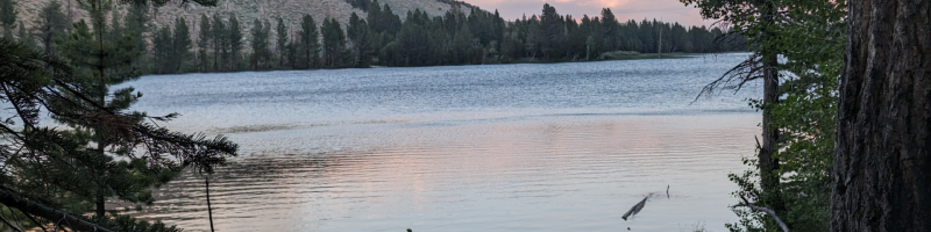
This route was used to cross the Sierra before wagon roads were built and is named for the injuries to stock that made this rugged crossing. This trail is still not recommended for stock. The trail climbs over a ridge to view Walker Lake and goes up Bloody Canyon past Lower and Upper Sardine Lakes. At the head of the canyon the trail crosses Mono Pass into Yosemite National Park, and continues toward the Kuna Crest or Parker Pass Creek areas of the park. Do not confuse this with the Mono Pass that goes to Pioneer Basin and the Recesses in the Rock Creek and Little Lakes Valley area.
Yosemite wilderness regulations do not allow camping in Parker Canyon.
Common Destinations: Lower and Upper Sardine Lakes, Mono Pass, Parker Creek trail to Dana Meadows
To purchase more detailed maps or guidebooks of the area, visit sierraforever.org
General Information
Open 24h/day, 7 days/week
- Wilderness permit required year round for overnight trips.
- Day use does not require a permit.
- May 1 through November 1 quota limits visitors to 8 people per day.
- No campfires at Lower Sardine Lake; and no campfires at all locations above 10,000 ft.
- Food, trash and scented items must be stored in bear proof containers or counter balanced.
- This permit does not give access to the John Muir trail at Tuolumne Meadows; does not go to Pioneer Basin and the Recesses.
- Groups cannot be larger than 15 people (includes day use).
- Sierra Nevada bighorn sheep habitat, do not disturb this recovering species.
- Special approval is required for commercial use.
- Stock is not recommended beyond Lower Sardine Lake.
- Ansel Adams Wilderness regulations.
- Yosemite wilderness regulations apply when visiting the National Park (no camping in Parker Canyon).
- This is Bear Country. Please store food properly and don't feed the bears.
Dogs must be leashed in all developed recreation areas.

Address: 1 Visitor Center Dr Lee Vining, CA 93541
Phone: (760) 647-3044
Hours: Open daily from 9:00 a.m. - 5:00 p.m. (passes & permits available on Sunday and Monday only 9:00 am - 5:00 p.m.)
Getting There
Elevation
8,171' at trailhead; 10,633' at Mono Pass
Directions
Leave Hwy 395 at the north end of the June Lake Loop, Hwy 158. Just North of Grant Lake, follow dirt road1S23 along Sawmill Creek to the Trailhead. The trail climbs over ridge to cross the inflow of Walker Lake. The road to Walker Lake is private and does not have parking for hikers.
Facility and Amenity Information
Restrooms
Restrooms are not available at this site.
Water
Potable water is not available at this site.
Water from creeks, lakes and springs should be treated before drinking.