
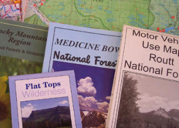
Visitor Maps and Guides
Get ready for your visit by checking out our detailed maps, brochures, and information guides. Rocky Mountain Region National Forest and National Grassland Visitor Maps are available directly from national forest offices.
Map Finder Application
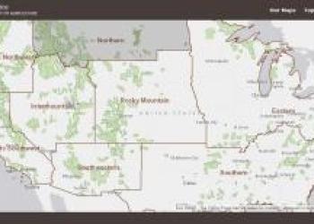
Locate and purchase a Forest or Grassland Visitor Map using this map interface. Printed and digital versions are available for most maps.
Mobile Friendly Maps
Download available forest & grassland maps to your mobile device via the Avenza app.
Printed Maps
Search for forest, grassland, district, wilderness & specialty printed maps online at USGS.
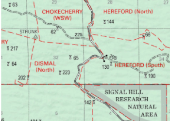
Motor Vehicle Use Maps

Motor Vehicle Use Maps (MVUMs) show national forest system roads & trails open to motorized travel.
