

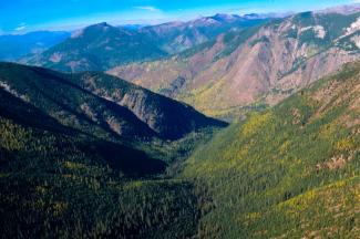
Welcome to the Colville National Forest
The Colville National Forest disproves the widely held notion that Washington state lies flat east of the Cascade Mountains. Today's 1.5-million-acre forest was first shaped over 10,000 years ago by Ice Age glaciers that carved three major valleys of today's Columbia, San Poil-Curlew, and Pend Oreille River flowing north into Canada before entering the Columbia River.
During President Theodore Roosevelt's two terms in office, he set aside millions of acres of forest reserves. Roosevelt proclaimed sixteen million acres of new reserves, sometimes referred to as midnight reserves, before signing an appropriations bill from Congress that would prohibit the President from creating any new forest preserves in those states. The Colville Forest Reserve, created on 1 March 1907, was thus created.
Presently, the Colville National Forest has 1.5 million acres in northeastern Washington and includes the Kettle River, Selkirk Mountain ranges, and the upper reaches of the Columbia River.
Top Things People Want to Know
We've got a new look!
We have recently upgraded to a new web platform to better serve the public. With hundreds of pages to update, some content may take additional time to appear. Some older content has been archived during this move as well.
We appreciate your patience as we work to make it easier than ever to access information and explore your national forests - both online and on the ground.
If you cannot find what you are looking for, please submit your question using the form on our Contact Us page.
Discover Your Northwest
Discover Your Northwest promotes discovery of Northwest public lands, enriches the experience of visitors, and encourages stewardship of these special places today and for generations to come.
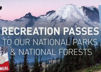
Recreation.gov
Recreation.gov is the government's centralized travel planning platform and reservation system for 14 federal agencies, offering the tools, tips, and information needed for you to discover destinations and activities, plan a trip, and explore outdoor and cultural destinations in your zip code and across the country. Find and reserve incredible experiences that help you bring home a story through Recreation.gov!
Washington State Sno Park Permit
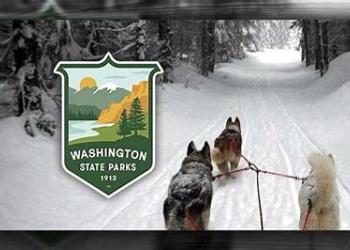
A Sno-Park permit grants access to any of the 120+ winter recreation sites maintained by the Winter Recreation program across the state.