
Welcome to White River National Forest
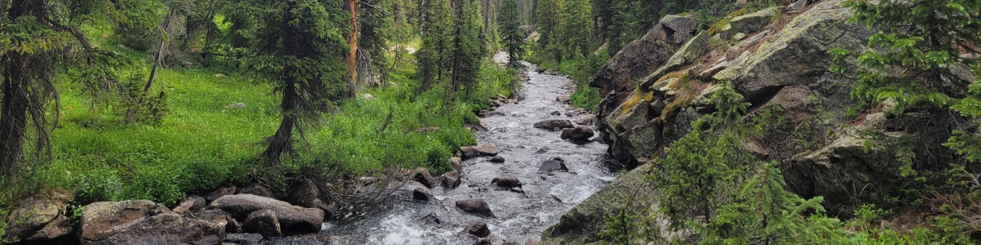
The White River National Forest is a world-renowned recreation destination home to iconic destinations such as Maroon Bells and Hanging Lake, 11 ski resorts, 10 peaks over 14,000 feet, and eight wilderness areas that cover more than a third of its acreage. Traveling through its five ranger districts, you can explore the classic Colorado Rocky Mountains of the Gore, Tenmile, Sawatch and Elk Ranges as well as the distinctly unique Flat Tops.
We've got a new look!
In April 2025, we transitioned to a new web platform to better serve the public. With thousands of pages to update, some content may take additional time to appear. Some older content has been archived during this move as well.
We appreciate your patience as we work to make it easier than ever to access information and explore your national forests - both online and on the ground.
If you cannot find what you are looking for, please contact your local Forest Service office or submit your question using the form on our Contact Us
Special Places

The White River National Forest is full of special places. Find the details you need to visit some of our most popular destinations.
Find a Campsite

The White River National Forest offers a variety of camping experiences; including rental cabins, developed campgrounds, and dispersed camping areas.
Project Page

Review proposed projects and participate in open comment periods.


