
Official websites use .gov
A .gov
website belongs to an official government organization in the
United States.
Secure .gov websites use HTTPS
A lock
(
) or https:// means you've safely
connected to the .gov website. Share sensitive information only
on official, secure websites.


Wild and Scenic Imnaha River
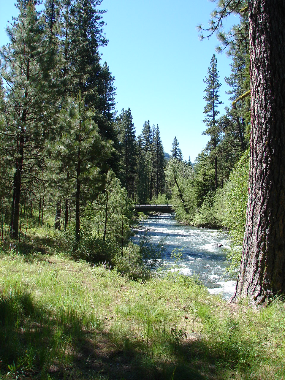
The Wild and Scenic Imnaha River is the longest wild and scenic river on the Forest. Originating near Cusick Mountain, the 77-mile river flows through the Eagle Cap Wilderness and the Hells Canyon National Recreation Area, across miles of private lands and eventually into the Wild and Scenic Snake River.
Designation
The Wild and Scenic Imnaha River was congressionally designated in 1988 under the Oregon Omnibus Rivers Act (P.L. 100-557). A total of 15 miles was designated as 'wild', four miles as 'scenic', and 58 miles as 'recreation' river. Current management of the river is directed with the 1993 Imnaha River Wild and Scenic River Management Plan. The river plan identified outstandingly remarkable values for the river as; scenery, recreation, fisheries, wildlife, historic/prehistoric, vegetation/botanical, and tradition values/lifestyle adaptation.
Main Recreation and Access Points
Some of the main recreation sites and access points along the river include:
- Indian Crossing Campground
- Ollokot Campground
- Cow Creek Trailhead
- The Town of Imnaha located on the lower section of the river
Location
The Imnaha River is located on the eastern section of the Eagle Cap Wilderness and west side of the Hells Canyon National Recreation Area. It is 44 miles from Enterpise, Oregon and 34 miles from Halfway, Oregon.
River Management
The Wild and Scenic Imnaha River is managed by the following management plan and associated documents;
1993 Imnaha River Wild and Scenic River Management Plan
- River Management Plan (787 KB)
- Appendix A - Glossary of Terms (233 KB)
- Appendix B -Wild and Scenic Rivers Act (373 KB)
- Appendix C - Resource Assessment (1.6 MB)
- Appendix D - Evaluation Procedures (260 KB)
- Appendix E - Corridor Map (4.3 MB)
For More Information
More information about the Wild and Scenic Imnaha River can be found at the national Wild and Scenic Rivers website.