
Official websites use .gov
A .gov
website belongs to an official government organization in the
United States.
Secure .gov websites use HTTPS
A lock
(
) or https:// means you've safely
connected to the .gov website. Share sensitive information only
on official, secure websites.


Wild and Scenic Minam River
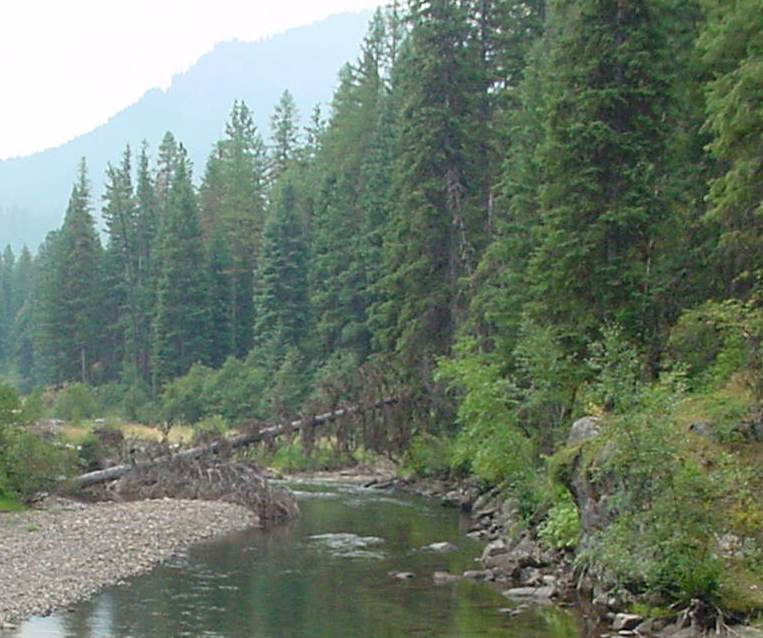
The Wild and Scenic Minam River is completely within the Eagle Cap Wilderness. Originating at Blue Lake and Minam Lake at around 7700 feet, the river winds its way down Minam Canyon and eventually ends at the Forest boundary near 2950 feet. Along the river is the historic Red Horse Ranch which is now used as a backcountry administrative site.
Designation
The Wild and Scenic Minam River was congressionally designated in 1988 under the Oregon Omnibus Rivers Act (P.L. 100-557). All 41.9 miles of the river were designated as 'wild'. Current management of the river is directed with the 1995 Minam River Wild and Scenic River Management Plan. The river plan identified outstandingly remarkable values for the river as; scenery, recreation, fisheries, wildlife, and geology.
Main Recreation and Access Points
Due to remoteness of the river in the wilderness, most recreation sites and access points require hiking or riding into them:
- Mead Flats Trailhead located off Highway 82
- Moss Springs Trailhead located about eight miles from Red Horse Ranch along the river
- North Fork Catherine Creek Trailhead located about 14 miles from the river
- West Eagle Meadows Trailhead located about 10 miles from the river
Location
The Minam River is located in the northern section of the Eagle Cap Wilderness, and is 39 miles from Enterprise, Oregon, and 34 miles from La Grande, Oregon.
River Management
The Wild and Scenic Minam River is managed by the following management plan and associated documents;
- River Management Plan (854 KB)
- Appendix A - Existing Condition (1240 KB)
- Appendix B - Glossary of Terms (241 KB)
- Appendix C - Wild and Scenic Rivers Act (705 KB)
- Appendix D - Resource Assessment (917 KB)
- Appendix E - Evaluaiton Procedures (798 KB)
- Appendix F - Corridor Map (2.2 MB)
For More Information
More information about the Wild and Scenic Minam River can be found at the national Wild and Scenic Rivers website.