
Offices
Tongass National Forest Offices

Address: 8510 Mendenhall Loop Road Juneau, AK 99801
Phone: 907-586-8800
Hours: 8 a.m. - 4 p.m. (Closed on federal holidays)

Address: 504 9th Street Craig, AK 99921-0135
Phone: 907-826-3271
Hours: 8 a.m. - 4 p.m. (Closed on federal holidays)
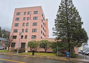
Address: 648 Mission Street, Suite 110 Ketchikan, AK 99901
Phone: 907-225-3101
Hours: 8 a.m. - 4:30 p.m. (Closed on federal holidays)
Address: 430 Airport Way Hoonah, AK 99829-0135
Phone: 907-945-3631
Hours: 8 a.m. - 4 p.m. (Closed on federal holidays)

Address: 8510 Mendenhall Loop Road Juneau, AK 99801
Phone: 907-586-8800
Hours: 8 a.m. - 4 p.m. (Closed on federal holidays)
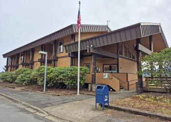
Address: 3031 Tongass Avenue Ketchikan, AK 99901
Phone: 907-225-2148
Hours: 8 a.m. - 4 p.m. (Closed on federal holidays)

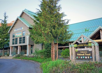
Address: 6000 Glacier Spur Rd Juneau, AK 99801
Phone: 907-789-0097
Hours: May 1-September 30: 10am-5pm Sunday-Friday (closed Saturday). October: Open Intermittently. November-March 10am-4pm Friday & Saturday. April: Open Intermittently (Closed on federal holidays)
Address: 12 North Nordic Drive Petersburg, AK 99833-1328
Phone: 907-772-3871
Hours: 8 a.m. - 4 p.m. (Closed on federal holidays)

Address: 2108 Halibut Point Road Sitka, AK 99835
Phone: 907-747-6671
Hours: 8 a.m. - 4 a.m. (Closed on federal holidays)
Address: 50 Main St Ketchikan, AK 99901
Phone: 907-228-6220
Hours: May 1 to September 30 – 7 days/wk 9:00 am to 5:00 pm (Closed on federal holidays)

Address: 1312 Federal Way Thorne Bay, AK 99919-0001
Phone: 907-828-3304
Hours: 8 a.m. - 4 p.m. (Closed on federal holidays)

Address: 525 Bennett Street Wrangell, AK 99929-0051
Phone: 907-874-2323
Hours: 8 a.m. - 4 p.m. (Closed on federal holidays)

Address: 421 Ocean Cape Road Yakutat, AK 99689
Phone: 907-784-3359
Hours: 8am-4pm (Closed on federal holidays)