
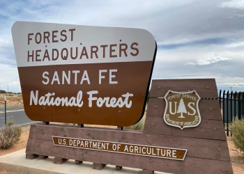
Welcome to the Santa Fe National Forest
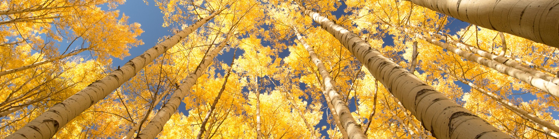
The Santa Fe National Forest covers 1.6 million acres of mountains, valleys and mesas ranging from 5,000 to 13,000 feet in elevation. Visitors don’t have to travel far to find forested mountain slopes, colorful volcanic formations, deep river gorges, and primitive wilderness areas. Thousands of cultural and archaeological sites reflect the Santa Fe National Forest's rich historical heritage and the many cultures that value this landscape.
Plan Your Visit
Find Your Way

Maps for every need, the way you want them: Interactive, Printed, Downloadable
Passes

Purchase your passes online or at your destination.
Permits

Looking for information about applying for a special use, collection, fuelwood, or other permit? This is your hub for everything related to permits.
Recreation

Year-round day use, water-focused recreation and trail opportunities offer a refuge in the cool mountain air.
Current Conditions

Preparing for a trip to the Santa Fe National Forest? Check the conditions and make adequate preparations before you travel.
Contact Us
Have questions our website can't answer? Looking to connect with a staff member? Contact the Supervisor's Office or a local District Office.
Popular Fall Topics
Scan & Pay

The Santa Fe National Forest is going cashless! Available at select recreation sites across the forest the Recreation.gov mobile app now features Scan & Pay to pay directly from your mobile device for first come, first served campsites.