
Official websites use .gov
A .gov
website belongs to an official government organization in the
United States.
Secure .gov websites use HTTPS
A lock
(
) or https:// means you've safely
connected to the .gov website. Share sensitive information only
on official, secure websites.


Aerial Insect and Disease Survey GIS Data for Oregon and Washington 1947-Present
Aerial survey data (ADS) for 1947-present are available in shapefile format. The polygon shapefiles are projected in Albers, NAD 83 - see data dictionary for projection parameters. Select a zip file (below) to download the insect and disease observations in Oregon and Washington for a particular year.
See the data dictionary for a description of the data.
Each year's aerial survey data is available for download as a compressed (zip) shapefile archive.
About Aerial Detection Surveys
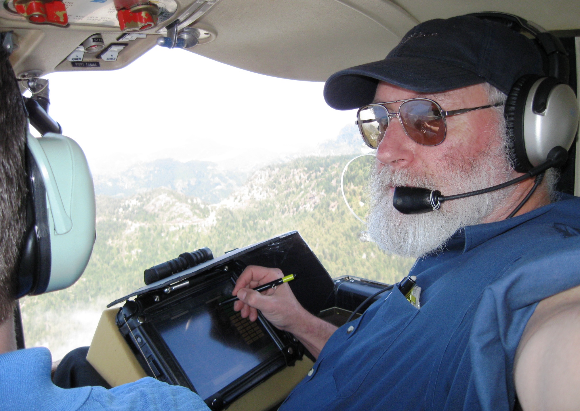 These data are based on cooperative aerial surveys conducted by Forest Health staffs of the Oregon Department of Forestry, Washington Department of Natural Resources, and the USDA Forest Service Pacific Northwest Region.
You can also download the aerial survey maps (2003-present) containing these data, view recent flightline maps, or explore Forest Health Protection mapping and reporting tools.
Learn more about current aerial surveys. For a historical perspective, view a 1955 manual (a 6.8 MB pdf file). Aerial survey observations and other data have been summarized in annual Forest Health Highlights, Forest Insect and Disease Conditions, and other related reports.
Other products and data include the Forest Health Technology Enterprise Team (FHTET) National Insect and Disease Risk Map and the Swiss Needle Cast Aerial Survey (1996-present) available from the Oregon Department of Forestry.
Forest Health Protection (FHP)
