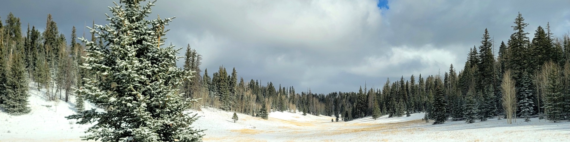
Motor Vehicle Use Maps & Motorized Travel Aids

All districts MVUM cover map image


The Motor Vehicle Use Map (MVUM) shows where it is legal to drive a motor vehicle on Kaibab National Forest. Having an MVUM is as necessary for motorized travel as having game proclamations when going hunting.

The MVUM is not a totally complete map showing all forest roads due to the fact that there may be a temporary road closure thus this map may not display fully those roads. Please check the Alerts & Notices page for current closures. Although other travel aids or more detailed maps may be used in conjunction with the MVUM, it is the MVUM itself which is the reference document for where it is legal to drive a motor vehicle. 

Seasonal weather conditions and natural events may render designated roads and trails impassable for extended periods. Designated areas may contain dangerous or impassable terrain. Many designated roads and trails may be passable only by high-clearance vehicles or four-wheel-drive vehicles. Maintenance of designated roads and trails will depend on available resources, and many may receive little maintenance.

The MVUM is republished every year, so please be sure that you are using the most current version when driving on the National Forest.


If you would like a free hard copy of these maps, they are available upon request at any of our forest offices or by calling the Kaibab National Forest Supervisor's Office 928-635-8200.


Ways to download the KNF Motor Vehicle Use Maps for various devices:

Type of Device

Guidance

Download Data

Any Electronic Device

View pdf documents
online
or download
to computer

Districts

Williams 2.7 mb

Tusayan 1.5 mb

North Kaibab (Front) 4.1 mb

North Kaibab (Back) 3.0 mb
 

GPS-Enabled Map Installation for Smartphone
or Tablet using
Avenza PDF Maps App

Instructions

Laptop-Smartphones images


Williams
District

Williams RD MVUM QR code

Tusayan
District

Tusayan RD MVUM QR code

Quick Reference PDF Maps Using
Scannable QR Codes for
Smartphones and Tablets

North Kaibab
District
(Front of Map)

North Kaibab RD MVUM-Front QR code-

North Kaibab
District
(Back of Map)

North Kaibab RD MVUM-Back QR code


Travel Map: A Helpful Companion to the MVUM

The MVUM's large physical size could make it difficult to handle or refer to while traveling, and some motorists have found that the MVUM's small map scale and spare cartographic design make it difficult to locate themselves with confidence along the roads and trails and within the areas that it portrays.

In response to these concerns, the Kaibab National Forest has developed GPS-enabled travel maps for each of its three ranger districts (Williams, Tusayan and North Kaibab) for smartphones, tablets. These maps are specifically designed to help motorists locate their position while traveling on the forest and using their devices. The road, trail and area designations depicted on these travel maps are identical to the road, trail and area designations depicted on the current versions of each ranger district's MVUM.& However, these travel maps are not the official MVUM and should be used as a supplement to, not a substitute for, the MVUM.

Download the free digital travel map for your device below.

Williams Ranger District Travel Map - 20 mb

Tusayan Ranger District Travel Map - 16 mb

North Kaibab Ranger District Travel Map - 20 mb


How-To Guides: Using the Avenza Maps App

These simple-to-follow how-to guides show how to use the Avenza Maps App to download Kaibab National Forest MVUMs and Travel Maps.

Avenza App Guide for Apple devices

Avenza App Guide for Android devices


Additional Kaibab National Forest Travel Management Information