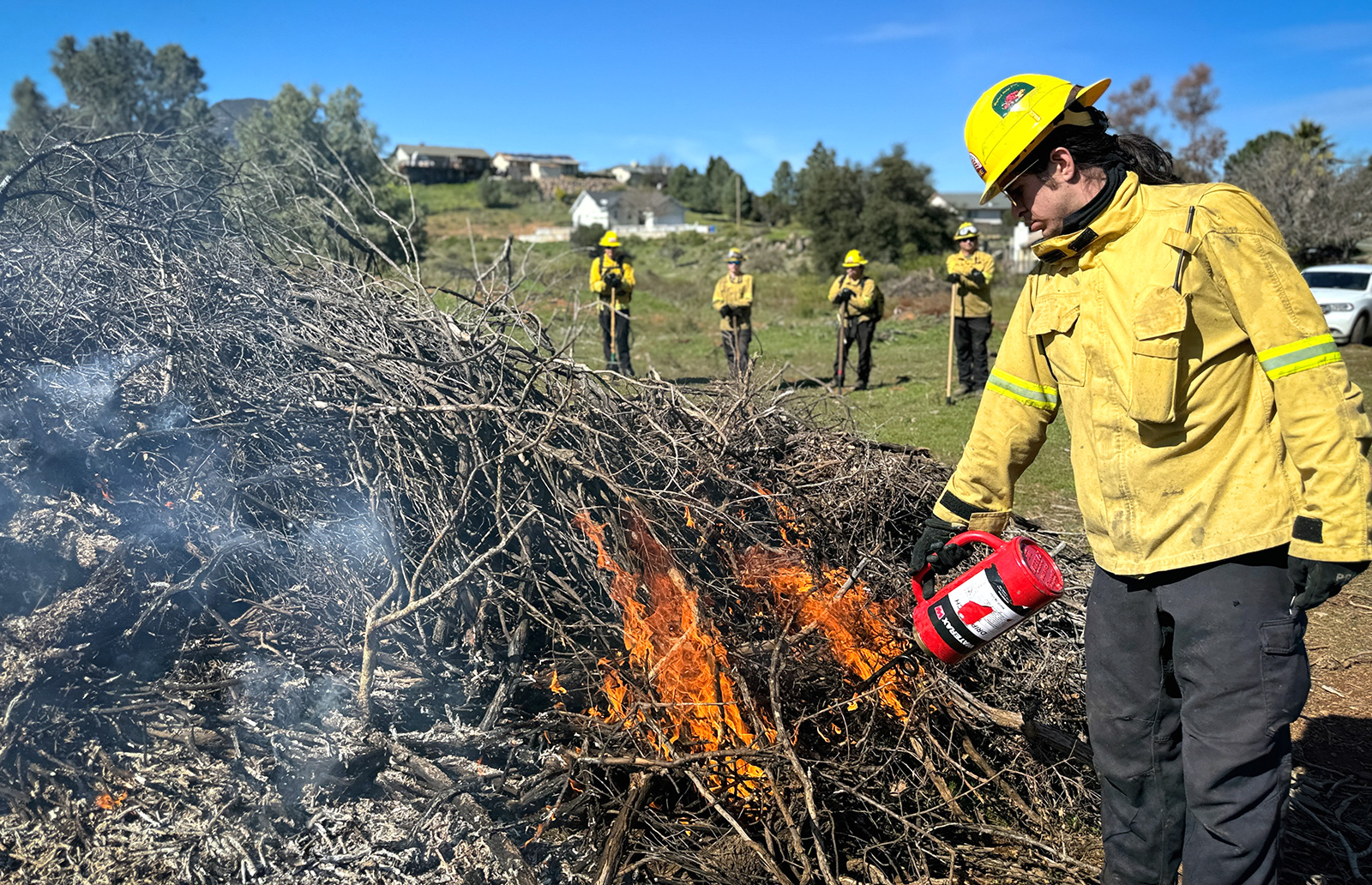
In early 2025, wildfires ravaged Southern California. Firefighters spent days battling flames that engulfed houses, businesses and landmarks while forcing thousands to flee. But even once the fires came under control, the danger wasn’t over. As the smoke cleared from the burned hillsides of Los Angeles, a new kind of urgency mounted. Now the threat was not from flames but instead from what could come next: flash floods, mudslides, and a stripped landscape vulnerable to intense rain events. Amidst the ashes of the Eaton and Palisades Fires, specialized teams from the USDA Forest Service mobilized, equipped not with hoses but with cutting-edge science to protect people and communities.

In the immediate aftermath
After a wildfire, the Forest Service's first priority is emergency stabilization to prevent further damage to life, property or natural resources. Scientists at the Forest Service Rocky Mountain Research Station and the University of Idaho were crucial to Southern California’s immediate post-fire recovery, steering emergency mitigation and remediation planning.
“Erosion modelling for the Eaton Fire and all other fires guided decisions on whether to implement land treatments, such as mulching hillslopes, to reduce erosion and the subsequent sedimentation,” said Eric Nicita, regional coordinator for the Forest Service Burned Area Emergency Response (BAER) Team.
The BAER Team is an interagency group of specially trained professionals who rapidly evaluate the burned area and prescribe emergency stabilization treatments to protect life, property, and critical natural and cultural resources. The team used a suite of publicly available tools and models to assess the conditions in the forest after the fire.

First, they used the Soil Burn Severity Guidebook to create Soil Burn Severity Maps for all the fires. This information was then entered into watershed models, which the team used to predict hillslope erosion and watershed responses, such as flooding and sedimentation.
Forest Service Water Erosion Prediction Product tools were also used by multiple agencies, including the Forest Service, California’s Watershed Emergency Response Team, the California Geological Survey, and Los Angeles County, among others, to assess the fires’ aftermath. For example, the California Department of Forestry and Fire Protection Watershed Protection Program ran one of the models on each of the burned hillslopes to build risk maps. Then those areas at highest risk became the focus for erosion mitigation strategies such as mulching with straw or creating drainage patterns to prevent roads and bridges from washing out during floods.
“Our tools are being used in meaningful decision making for understanding hillslope and watershed responses and provide guidance on where to take action that will make a difference,” said Pete Robichaud, Forest Service research engineer.

Keeping damage minimal
Based on Forest Service research, Los Angeles County cleared debris from flood-prone basins and installed emergency protection measures that can block water flow, such as k-rail, muscle walls, and sandbags, to prevent post-fire flooding and runoff. These preventive actions proved largely successful in the immediate post-fire environment, including during some severe weather, particularly flooding in mid-February.
Don Lindsay of the California Geological Survey said, “To my knowledge, the work the County did was effective in minimizing damages to public and private property during the February 13th rain event.”
The Forest Service Water Erosion Prediction Product suite of tools is publicly available. Tutorials are available online to train users on the tools’ usage and applications. The tools provide detailed analyses of soil burn severity and erosion potential, enabling informed emergency response and community preparedness, empowering communities with timely information for decision making in critical situations.
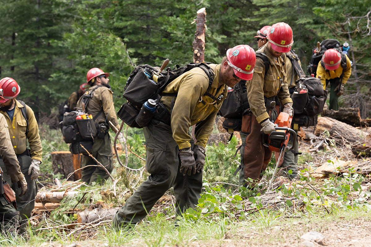
Fighting wildfires neither begins nor ends with the fires themselves. Many of the preventative measures, like prescribed burns and forest thinning, are well-known. But the subsequent work to deal with the aftermath of wildfires is often just as important. The Forest Service brings the best science to bear to keep the subsequent damage minimal.
Subscribe to our newsletter to keep up with all Forest Service feature stories!