
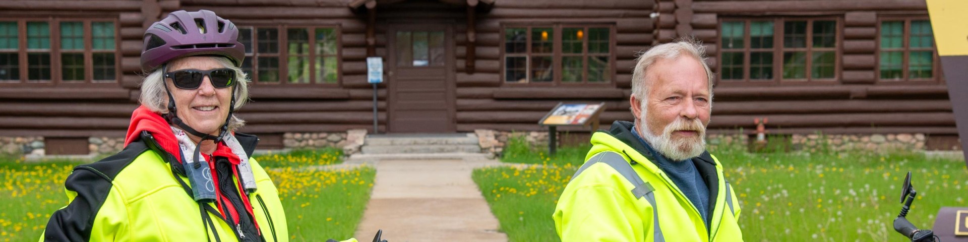
Biking
Biking on the Chippewa National Forest has changed dramatically over the last ten years. Ten years ago, mountain bikes were the only option to travel a limited number of bike trails. Today, 41 miles of paved bike trails line the west side of the Forest and mountain bikers can travel over 43 miles of unpaved trails on the east side between Deer River and Marcell.
Minnesota’s Mississippi River Trail winds roughly 620 miles downriver from its source within Itasca State Park to the Iowa border. Located largely on the shoulders of paved roads and on low-traffic roads, the route also includes relatively long segments of scenic state and regional trails.
PAVED TRAILS
Migizi Trail (Cass Lake): This beautiful trail is named for the bald eagle (migizi in Ojibwe). The Trail circles Pike Bay on a 19-mile, paved loop through big red pines in the original Ten Section of the Forest. There are four access points along the route: Forest Supervisor’s Office in Cass Lake, Minn., across from Cass Lake Wayside Rest Area on Highway 2, Norway Beach Recreation Area off Hwy 2, and South Pike Bay picnic area on the Pike Bay Loop Road.
Heartland Trail (Walker): The Heartland Trail stretches 22 miles across the Chippewa National Forest, with a total of 49- miles through northern Minnesota, linking Cass Lake, Walker, Akeley, Nevis, and Park Rapids. This scenic trail parallels Highways 371 between Cass Lake and Walker, and Highway 34 from Walker to Park Rapids, yet still has a secluded feel with little highway noise. Pines, birch, oak, maple, and aspen line the path.
Paul Bunyan Trail (Walker): The Paul Bunyan State Trail carries cyclists north from Brainerd to Walker on a 65-mile paved route. It connects with the Heartland Trail south of Walker and leads to Cass Lake. The trail is located on a former Burlington Northern railroad grade and offers a good break from the straight and level.
UNPAVED TRAILS
Simpson Creek Trail (Deer River): In 1907, Sam Simpson’s logging crew built the first tote roads in the Cut Foot Sioux area which now make up the 13-mile Simpson Creek Trail. The trail offers rolling topography through pines and along glacial eskers. Access the trail at the Cut Foot Sioux Visitor Center or Eagle Nest Road (Forest Road 2198).
Cut Foot Sioux Trail (Deer River): This extension of the Simpson Creek Trail is an 18-mile loop along old forest roads of gravel and sand. Access the trail from the Cut Foot Sioux Visitor Center or the Highway 46 wayside rest five miles north of the visitor center. Horseback riders also use this trail, so pass with caution.
Suomi Hills Trail (Marcell): The Suomi Hills area has 19 miles of remote trails and is part of a semi-primitive nonmotorized area. The rolling topography is geared for intermediate and advanced cyclists. Access the Suomi Hills area from the Highway 38 National Scenic Byway, eight miles south of Marcell, Minn.
Trout Lake Trail (Marcell): This is a short, scenic trail to the Joyce Estate, a national historic site featuring a 1920 lumber baron estate. The rolling trail moves bikers between narrow paths and old tote roads, watch for hikers. Access the 11- mile trail from the north end of Trout Lake off County 326 or from the south near Forest Road 2065.
Shingobee Hills (Walker): Known for sledding and skiing, Shingobee also offers mountain biking adventures along six miles of moderate to difficult trails. Try your hand at winter biking and stop by the chalet on weekends. Located six miles west of Walker off Highway 34.
The Chippewa National Forest Trails Data is now available to the public on the internet. You now have several options to find National Forest Trails:
- The interactive trail map is available on the Forest Service website at: https://www.fs.usda.gov/ivm/
- The interactive trail map is also available at the data.gov site at: http://www.data.gov/ enter “forest service trails” in search box and select ARCmap preview button.
E-Biking
Electric bikes are an increasingly popular way to enjoy the outdoors and are allowed on Chippewa National Forest roads and trails that are designated for motorized use.