
Welcome to National Forests in North Carolina
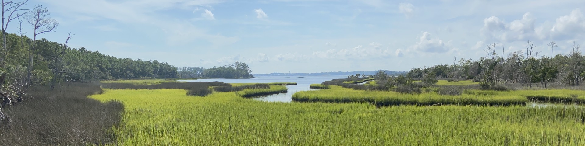
North Carolina is home to 4 national forests: Croatan, Uwharrie, Pisgah, and Nantahala National Forests. These forests are located in all three regions of North Carolina, providing visitors with unique landscapes and varied terrain. Here you can hike one of the oldest mountain ranges in the world and explore the only coastal national forest in the eastern U.S.
Recreation

The national forests in North Carolina offer a wide variety of outdoor recreation opportunities. Discover hiking trails, biking opportunities, OHV riding and more!
Hurricane Helene Information and Closures

Hurricane Helene dramatically impacted the mountains of Western North Carolina including National Forests system lands.
Permits

A special-use authorization allows occupancy, use, rights, or privileges of agency land for events or commercial purposes.


