Recreation


Snake River seen at ground level

Discover an Area by Activity

Select an activity to find an area to visit.

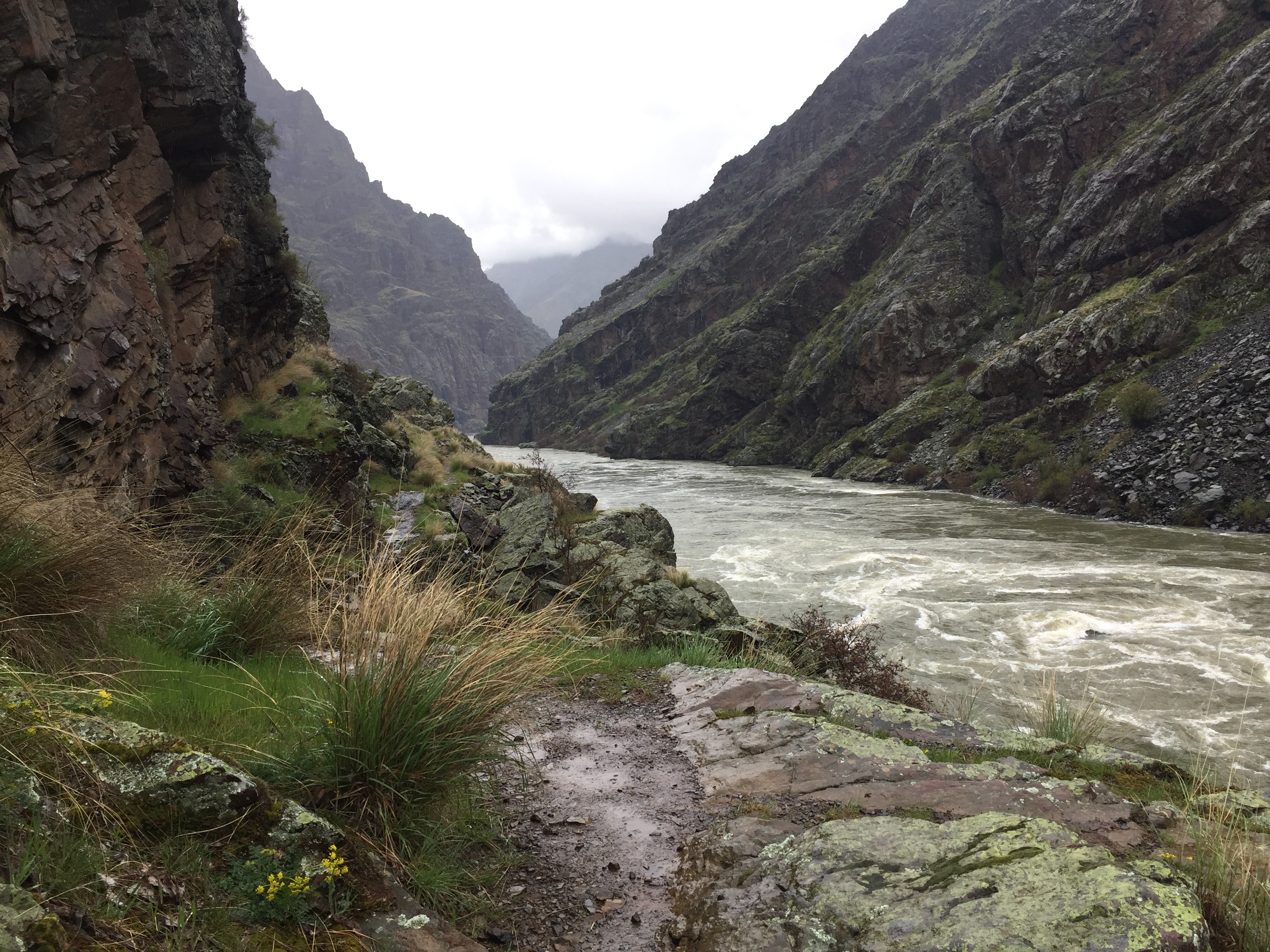
Eye-Catching Scenery!

Spanning 2.4 million acres across the northeast corner of Oregon and western Idaho, the Wallowa-Whitman National Forest offers a variety of year-round recreational opportunities. With landscapes packed with rugged canyonlands, scenic vistas, and high mountain lakes, visitors have enjoyed the forest’s diverse landscape and recreational activities for generations.

Recreation Map

Map showing recreational areas. Map Information

Current Recreation Conditions

Area Name Status Area Conditions
Ah Hee Diggings Interpretive Site Open Open
Amelia Creek Trailhead Closed Closed Current Conditions
Anthony Lake Tent Campground Closed Closed Current Conditions
Anthony Lakes Guard Station Closed Closed
Antlers Guard Station Closed Closed
Baldy Creek Trailhead Not Cleared Not Cleared Current Conditions
Baldy Lake Trailhead Not Cleared Not Cleared Current Conditions
Bear Creek Trailhead Open Open Current Conditions
Bear Wallow Trailhead Open Open Current Conditions
Bird Track Interpretive Site Closed Closed This site is temporarily closed due to construction and river restoration projects on the Grande Ronde watershed.
Bird Track Springs Campground Open Open WARNING: Hazardous conditions exist in the Grande Ronde River in recently-restored project areas, including downstream of the Bird Track Springs campground. Please do not float or boat in these areas. Warning signs have been posted along the river. For those interested in other parts of the river, it is a good idea to check current river flows, which are available in real time. Boating and floating is inherently risky, and it is more risky during high flows. On a typical summer day in the Grande Ronde River, there may be 13 cubic feet per second (CFS) or less.  At those rates, the river is slower, less powerful, and generally less risky for floaters and boaters. Even then, it is important to watch out for hazards in the river and along its banks. It is also important to follow river safety practices. For example, if you fall out of your watercraft, don’t try to stand up in a moving river, or your foot can be trapped by a rock or root, and the force of the river can pin you under the surface.  Instead, float on your back, point your feet downstream to protect yourself from oncoming obstacles, and back-paddle toward a safe place on the riverbank.
Blue Springs Summit Sno-Park Open Open
Bucks Crossing Trailhead None None Current Conditions
Bull Run Trailhead Not Cleared Not Cleared Current Conditions
Chico Trailhead None None Current Conditions
Cold Springs Trailhead None None Current Conditions
Cornucopia Trailhead Open Open
Crawfish Basin Trailhead Not Cleared Not Cleared Current Conditions
Crawfish Creek Trailhead Not Cleared Not Cleared Current Conditions
Dean Creek Trailhead Not Cleared Not Cleared Current Conditions
Dutch Flat Trailhead None None Current Conditions
Eagle Cap Wilderness None None Interactive Trails Map for Eagle Cap Wilderness Interactive Trails Map for Eagle Cap Wilderness
Elkhorn Crest Trailhead Open Open Current Conditions
Forest Practices Interpretive Site None None
Freezeout Trailhead Open Open Current Conditions
Frog Pond Trailhead None None Current Conditions
Grande Ronde Sno-Park Open Open Current Conditions
Gumboot Creek Fish Interpretive Site None None Current Conditions
Hat Point Trailhead None None Current Conditions
Heaven's Gate Trailhead None None Current Conditions
Killamacue Trailhead None None Current Conditions
Lake Fork Creek Trailhead None None Current Conditions
Lick Creek Trailhead None None Current Conditions
Low Saddle Trailhead None None Current Conditions
Marble Pass Trailhead None None Current Conditions
PO Saddle Trailhead None None Current Conditions
Paint Your Wagon Interpretive Site None None
Peavy Cabin Closed Closed
Pittsburg Landing Boat Launch Open Open Current Conditions
Powder River Trailhead Closed Closed Current Conditions
Snake River Trailhead Open Open Current Conditions
Upper Pittsburg Landing Picnic Area Open Open
West Eagle Meadows Trailhead Open Open
Windy Saddle Trailhead None None Current Conditions
Woodley Rocks None None Current Conditions