
Official websites use .gov
A .gov
website belongs to an official government organization in the
United States.
Secure .gov websites use HTTPS
A lock
(
) or https:// means you've safely
connected to the .gov website. Share sensitive information only
on official, secure websites.


Recreation
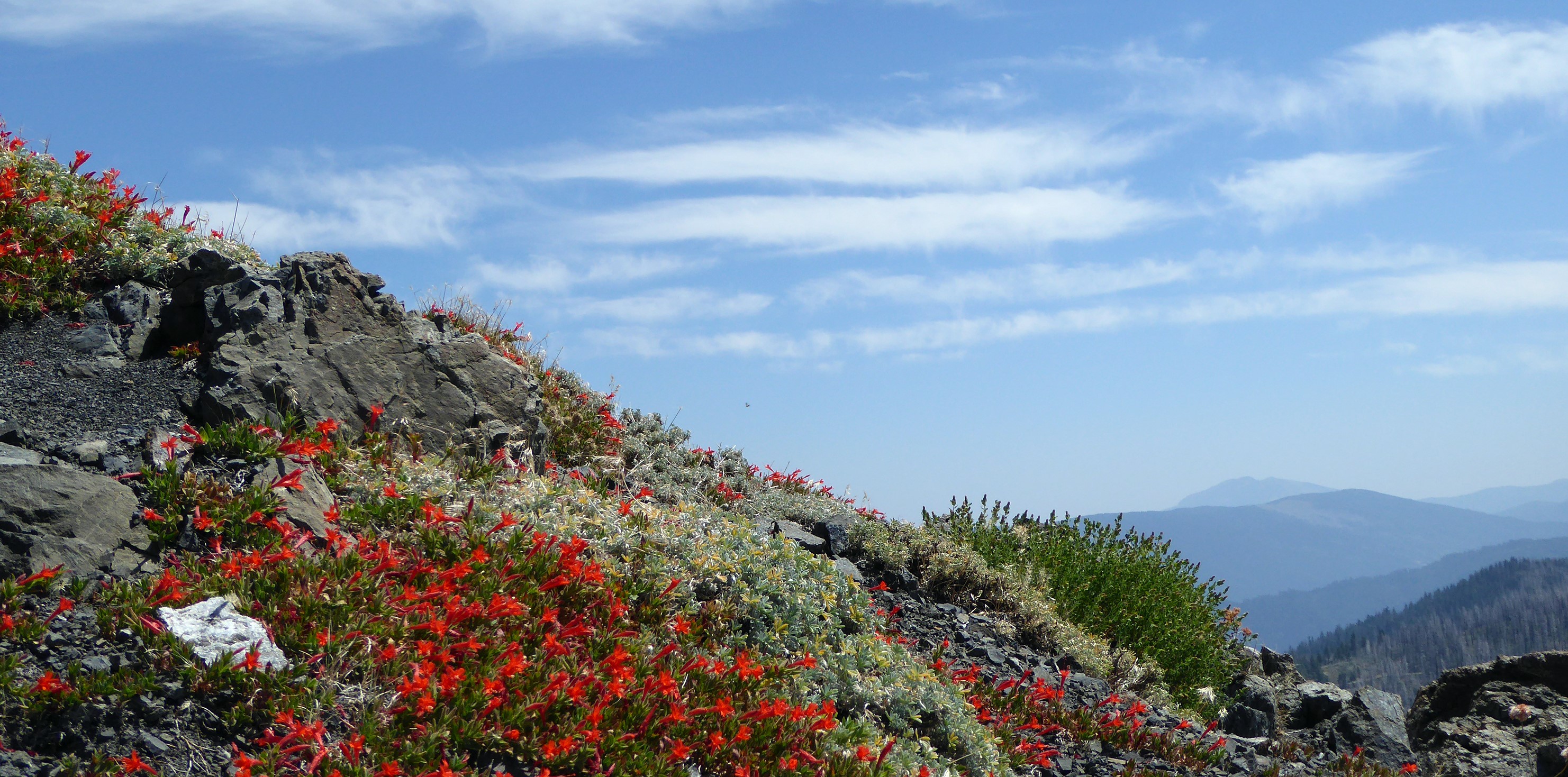
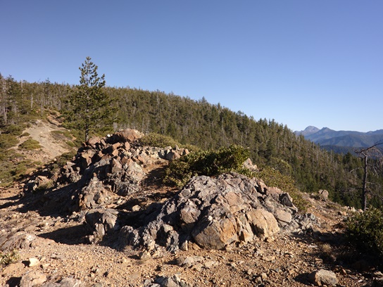
The Six Rivers National Forest offers nearly one million acres of forest for your enjoyment, relaxation, and exploration. Within a six-hour drive north of the Bay Area, you can experience the solitude of hiking in the wilderness on over 100 miles of trails, enjoy camping near others in developed campgrounds, or the solitude of camping in the backcountry. The forest is also a prime location for plenty of world-class fishing, as well as home to one of most barrier-free fishing locations in the nation. The forest’s ranger district offices from north to south include:
Current Recreation Conditions
Spotlights
Smith River National Recreation Area

Recreational activities abound in the Smith River National Recreation Area or NRA. The beautiful Smith River offers fishing for steelhead, trout, and salmon. During the summer months, the pure, clean waters of the Smith River are perfect for swimming, rafting, or fishing and the forested mountainsides present occasions for hiking, bird watching, wildflower walks, or perhaps just lounging in the sun.
Winter temperatures drop into the 40s and 50s, with an occasional snow storm. The rainy season normally runs from October through April with an average annual rainfall of 92.55 inches. Summers are dry with highs in the 80-100°F degree range. Contact the NRA Headquarters at the Gasquet Ranger Station for current weather conditions.
- Smith River NRA Map & Guide, rev. 1/2019 – PDF
- Companion Map to the Smith River NRA Map & Guide, rev. 1/2019 – PDF
- Camping Guide - Smith River NRA, rev. 4/2015 – PDF
- Campsite Spur Dimensions - Smith River NRA, rev. 1/2015 – PDF
- Trail Guide - Smith River NRA, rev. 2-2002 – PDF
- River Access Trails - Smith River NRA, rev. 8/2014 – PDF
- River Access Trails - Smith River NRA, rev. 8/2014 – Word
- Lakes - Smith River NRA, rev. 3/2003 – PDF
- Things to Do in an Hour or Two - Smith River NRA, rev. 2/2003 – PDF
- Darlingtonia Trail - Smith River NRA, rev. 3/2003 – PDF
- Myrtle Creek Trail - Smith River NRA, rev. 2/2000 – PDF
- Bear Basin Lookout and Pierson Cabin Brochure, rev. 2/2015 – PDF
- Fish of the Smith River, rev. 12/2002 – PDF
Klamath National Wild and Scenic River
![[Photograph]: Relaxing on the Klamath River.](/wps/PA_WIDConsumption/wid/EnlargeImage.jsp?param5=null¶m1=PA_WIDConsumption¶m2=STELPRDB5130642¶m3=[Photograph]: Relaxing on the Klamath River.¶m4=/Internet/FSE_MEDIA/stelprdb5130642.@p.jpg¶m6=null&pname=Forest Service )
The spectacular Klamath River is both the second largest and second longest river in California. The river makes its way through over 200 miles both the Cascade and Coast Mountain Ranges offering many recreation opportunities to its visitors. Summer months bring rafters to the area and jet boat rides are offered out of the town of Klamath. The river is renowned for its fishing opportunities of Chinook (King Salmon), Coho (Silver Salmon), and Steelhead. The river is easily accessible off of Highway 96. Several ramps exist to provide easy launching for your boat.