
Official websites use .gov
A .gov
website belongs to an official government organization in the
United States.
Secure .gov websites use HTTPS
A lock
(
) or https:// means you've safely
connected to the .gov website. Share sensitive information only
on official, secure websites.


Bull Run Trailhead
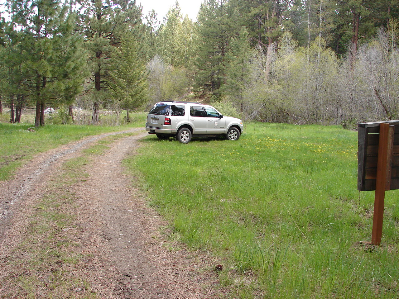
The Bull Run Trailhead is a very small minimally developed trailhead mostly used by Summer hikers and Fall hunters to access the southern Monument Rock Wilderness and Bull Run Ridge area. This site accesses Bullrun Trail #1961.
At a Glance
| Current Conditions: | Current Conditions |
|---|---|
| Reservations: | This site is not reservable. |
| Area Amenities: | Parking |
| Fees: | No fee required. |
| Open Season: | June |
| Usage: | Light |
| Restrictions: | General rules of use and restrictions apply for this developed recreation site. Wilderness Regulations apply within Monument Rock Wilderness. Motorized vehicles, bicycles, carts, hang glider and other mechanical equipment is prohibited in the Wilderness area. |
| Closest Towns: | Unity, Oregon (7 miles) |
| Water: | No |
| Restroom: | No |
| Operated By: | Forest Service |
| Information Center: | Whitman Ranger District |
General Information
Directions:From Unity, Oregon turn left off of Highway 26 onto South Burnt River Road (County Road 600) and go 1 mile; Turn left on Bull Run Road (County Road 601) and go about one mile to an intersection with another county road - keep going straight; Travel another 2.7 miles to the Forest Boundary; At the boundary travel on Forest Road 200 and then on Forest Road 1695 for about 0.6 miles; The trailhead is off Forest Road 1965 at Bull Run Creek. To access the trail continue up Forest Road 1695 for about 100 feet and then hike or ride up to Forest Road 210 turning left and going 0.9 miles to trail.
ROAD ADVISORY: Forest Road 210 is a very narrow, rocky road with no turnouts. Cars and trailers are not recommended due to the narrow road and a very small turn-around at the end of the 210 road. Parking at the trailhead along Forest Road 1695 and Bull Run Creek is recommended.
Activities
Day Hiking
Backpacking
Amenities
| Parking: | Undesignated for 3-4 vehicles; Loading ramp for stock |
|---|