
Official websites use .gov
A .gov
website belongs to an official government organization in the
United States.
Secure .gov websites use HTTPS
A lock
(
) or https:// means you've safely
connected to the .gov website. Share sensitive information only
on official, secure websites.


Indian Crossing Trailhead
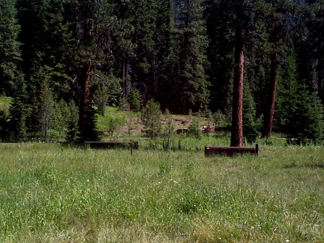
The Indian Crossing Trailhead is located at the 'end of the road' along the Wild and Scenic Imnaha River. This small trailhead allows visitors to explore the Hells Canyon National Recreation Area, Eagle Cap Wilderness and the Wild and Scenic Imnaha River from one location. Some stock facilities like loading ramps, hitching rails, and feed bunks are provide at the site. Located nearby is the Indian Crossing Campground.
Printable map and information about the South Fork Imnaha Trail #1816 to Trail #1820 (PDF File)
At a Glance
| Current Conditions: | Current Conditions |
|---|---|
| Reservations: | This site is not reservable. |
| Area Amenities: | Toilets, Drinking water, Parking |
| Fees: | (The Indian Crossing area has a trailhead and a campground that are 2 separate fee sites.) The fee at Indian Crossing Trailhead is $5/vehicle/day or Northwest Forest Pass, or any form of the America the Beautiful National Pass. |
| Permit Info: | All visitors to the Eagle Cap Wilderness must obtain a Wilderness Visitor Permit before entering the area. Only one permit is required per group and there is no fee for the permits. Registration and Permit boxes are located at each trailhead near the information board. The permits are self-issued. |
| Open Season: | June |
| Usage: | Light-Medium |
| Restrictions: | General rules of use and restrictions apply for this developed recreation site. Wilderness Regulations apply within Eagle Cap Wildernes.
|
| Closest Towns: | Enterprise, Oregon (54 miles); Halfway, Oregon (38 miles) |
| Water: | Well water seasonally available |
| Restroom: | Vault Toilets |
| Passes: | Recreation Passes may be used as a form of fee payment at the trailhead.
|
| Operated By: | Forest Service |
| Information Center: | Wallowa Mountains Office |
General Information
Directions:From Enterprise, Oregon travel south on Oregon State 82 to Joseph for about 6.5 miles; In Joseph turn left on Oregon State 350 for about 8 miles; Turn right on the Wallowa Loop Road (also known as the Hells Canyon Scenic Byway or Wallowa Mountain Loop Road); Travel on this road which eventually becomes Forest Road 39 for 30 miles; Before Imnaha River bridge turn right on Forest Road 3960 and go 9 miles along Imnaha River to the end of the road to the trailhead; The trailhead is on this side of the Imnaha River and the campground entrance is across the Imnaha River bridge.
From Halfway, Oregon head east out of town on Record Road to Highway 86 for 1 mile; Travel east on Highway 86 for 9 miles to Wallowa Loop Road (also known as Forest Road 39 and Hells Canyon Scenic Byway) towards Enterprise and Joseph; Travel about 23 miles on Forest Road 39 to Forest Road 3960; . Turn left off Forest Road 39 to Forest Road 3960 and go 9 miles to the end of the road to the trailhead; The trailhead is on this side of the Imnaha River and the campground entrance is across the Imnaha River bridge.
Activities
River and Stream Fishing
Day Hiking
Backpacking
Horse Camping
Some stock facilities like loading ramps, hitching rails, and feed bunks are provide at the site.
Horse Riding
Amenities
| Toilets: | Accessible vault toilets |
|---|---|
| Parking: | Truck and trailer parking |
| Drinking water: | Hand pump well |