
Recreation
Explore the Superior National Forest
2,000 miles of trails designed for hiking, hunting, riding and more. The Forest offers an expansive variety of ways to get outside and enjoy the outdoors.
Proposed Boundary Waters Canoe Area Wilderness Fee Changes
The Superior National Forest is proposing changes to recreation fees at the Boundary Waters Canoe Area Wilderness to increase education, maintenance and visitor experience.
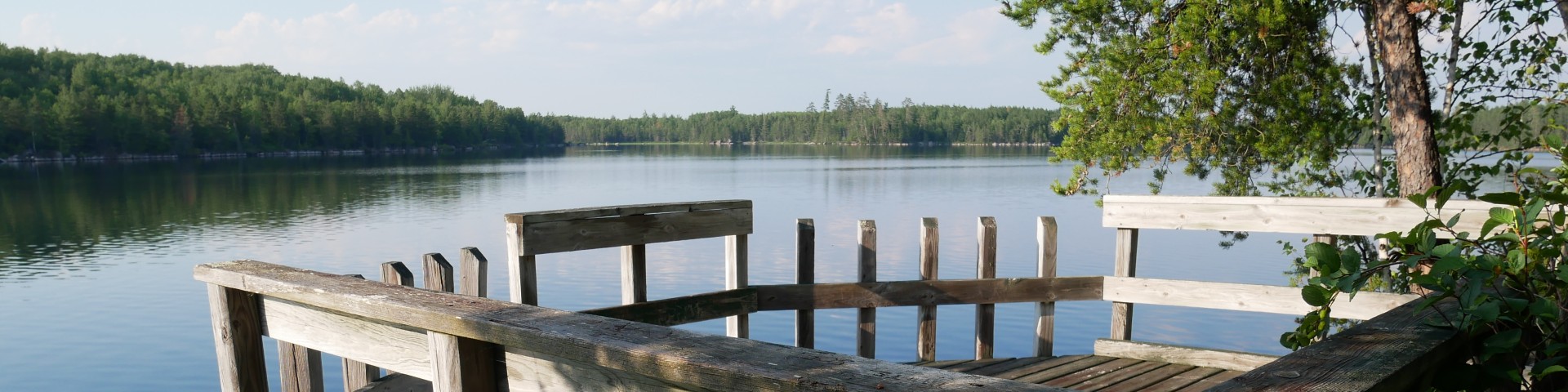
Visit the Wilderness
The Boundary Waters Canoe Area Wilderness extends nearly 150 miles along the International Boundary, adjacent to Canada’s Quetico and La Verendrye Provincial Parks, is bordered on the west by Voyageurs National Park, and by Grand Portage National Monument to the east. It is composed of lakes, islands, rocky outcrops and forest.

Welcome to the LaCroix Ranger District. The landscape in this area is covered with dense forest and spotted with numerous lakes.
Welcome to the Kawishiwi Ranger District! Located in Ely, Minnesota, right on Highway 1 (Voyageurs Highway).
Welcome to the Gunflint Ranger District! This area is the most Northeastern portion of the Forest, stretching from near Lake Superior all the way to the Canandian Bord
Welcome to the Tofte Ranger District. The geography of this area runs from the rocky shores of Lake Superior to the miniature mountains of the Sawtooth Range.

These sites are ones where you travel through Boundary Waters Canoe Area Wilderness to get to where you are going, either paddling, hiking, or portaging from one lake to an

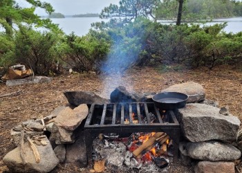
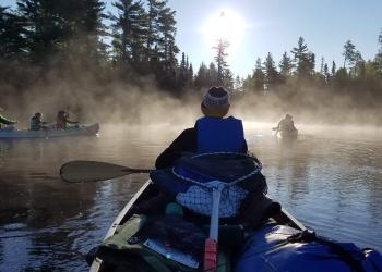
Spend a weekend or a week on this 10 lake and two river canoe route. Enjoy the scenery and wildlife viewing from the clear or dark water lakes and slow rivers.
Hogback ridges along trail offer beautiful vistas. • 5 miles of trail. • 4 ‘backcountry’ campsites. • 3 site rustic campground. • Day use picnic area. • Boat launch.
Put your canoe in the Hunting Shack River on the south side of the Echo Trail (County 116).
Many lakes in the Gunflint Ranger District have boat ramps and docks suitable for launching a trailered boat. These lakes are open for use by motoriz