
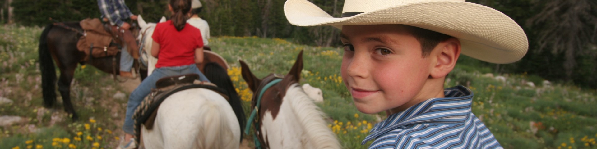
Recreation
Located in California's breath-taking Central Sierras with 78 lakes, 811 miles of streams and rivers, and more than 1,000 miles of hiking trails, the 898,000 acre Stanislaus National Forest is the perfect destination for whatever your next adventure may be! Hiking, biking, fishing or camping, the Stanislaus National Forest has something for you.

Ranger Station
1 Pinecrest Lake Rd Pinecrest, CA 95364
209-965-3434
Ranger Station
24545 State Highway 120, Groveland, CA 95321-9704
(209) 962-7825
Ranger Station
5519 Highway 4, Hathaway Pines, California
(209) 795-1381
Alpine Bypass Trail
The Alpine Bypass Trail is an easy walk through forest and small meadows. It runs from Silvertip Campground to the Bee Gulch Trail, intersecting with it a half-mile from the Bee Gulch Trailhead. The…
Alpine Ranger Station
Site Closed
Location: 2002 E. Highway 4, midway between Bear Valley, California and Lake Alpine.Phone: (209) 753-2811
Andresen Mine Trail
A 4.9 mile hiking and equestrian trail between Holm Powerhouse and Lumsden Road (1N10) along Cherry Creek and Tuolumne Wild & Scenic River. Use Jawbone Ridge and Cherry Lake South topographic quad…
Arnold Rim Trail
The Arnold Rim Trail (ART) is a unique trail system at mid-elevation in the central Sierra Nevada Mountains. A non-motorized trail system designed for hikers, mountain bikers and equestrians, it…
Arnold Rim Trail - Cedar Center Trailhead
Site Open
Arnold Rim Trail - Cedar Center TrailheadFor maps and more information on the trail, visit https://arnoldrimtrail.org/.
Arnold Rim Trail - Logging Museum Trailhead-Arnold
Site Open
The northern terminus of the Arnold Rim Trail is at the Sierra Nevada Logging Museum in the community of White Pines. From the museum’s parking lot, look for the start of the trail across the…
Arnold Rim Trail - San Domingo Southern Trailhead
Site Open
This is the southernmost trailhead for the Arnold Rim Trail and San Domingo section of the trail.For maps and more information on the trail, visit https://arnoldrimtrail.org/.
Arnold Rim Trail - Sheep Ranch Rd & Valley View Dr
Arnold Rim Trail - Avery Sheep Ranch Road & Valley View Drive TrailheadFor maps and more information on the trail, visit https://arnoldrimtrail.org/.
Arnold Rim Trail - Sheep Ranch Road & 4N41Y
Arnold Rim Trail - Avery Sheep Ranch Road & 4N41Y Trailhead: This trailhead is at the junction of the San Domingo section and northern section of the trail.For maps and more information on the trail,…
Arnold Rim Trail - Valley View Drive Trailhead
Site Open
Arnold Rim Trail - Valley View Drive TrailheadThe access off this road provides the shortest route to destinations like Cougar Rock and Top of the World.For maps and more information on the trail,…